Ricketts Glen State Park
Benton, Pennsylvania
April 17-20, 2017
By Bob Gray
Our Hike Route
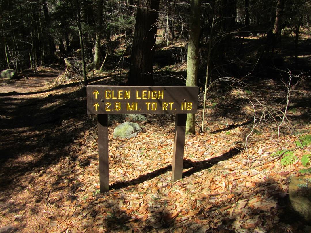
Cabin Area to Glen Leigh Trailhead ~ 0.2 Mile
Glen Leigh Trail to Waters Meet ~ 1.0 Mile
Waters Meet to Ganoga Glen Trailhead ~ 1.0 Mile
Highland Trail to Cabin Area ~ 1.2 Mile
Total distance ~ 3.4 Miles
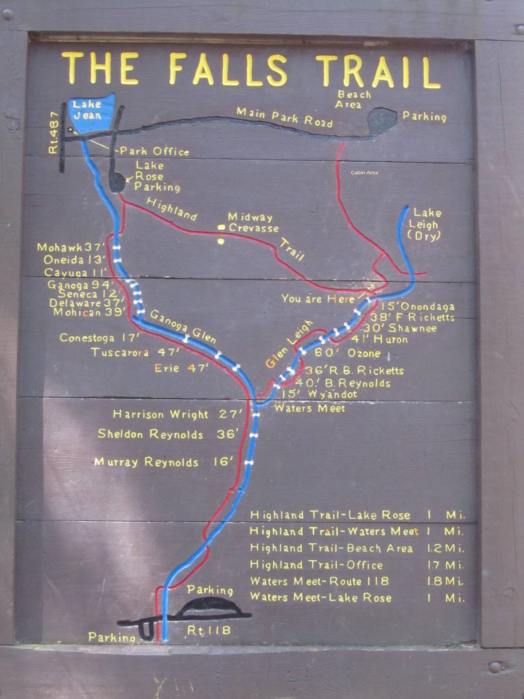
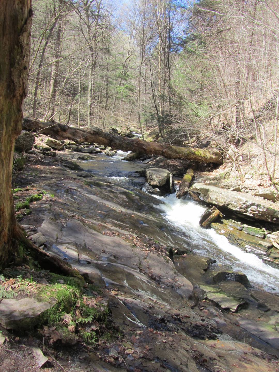
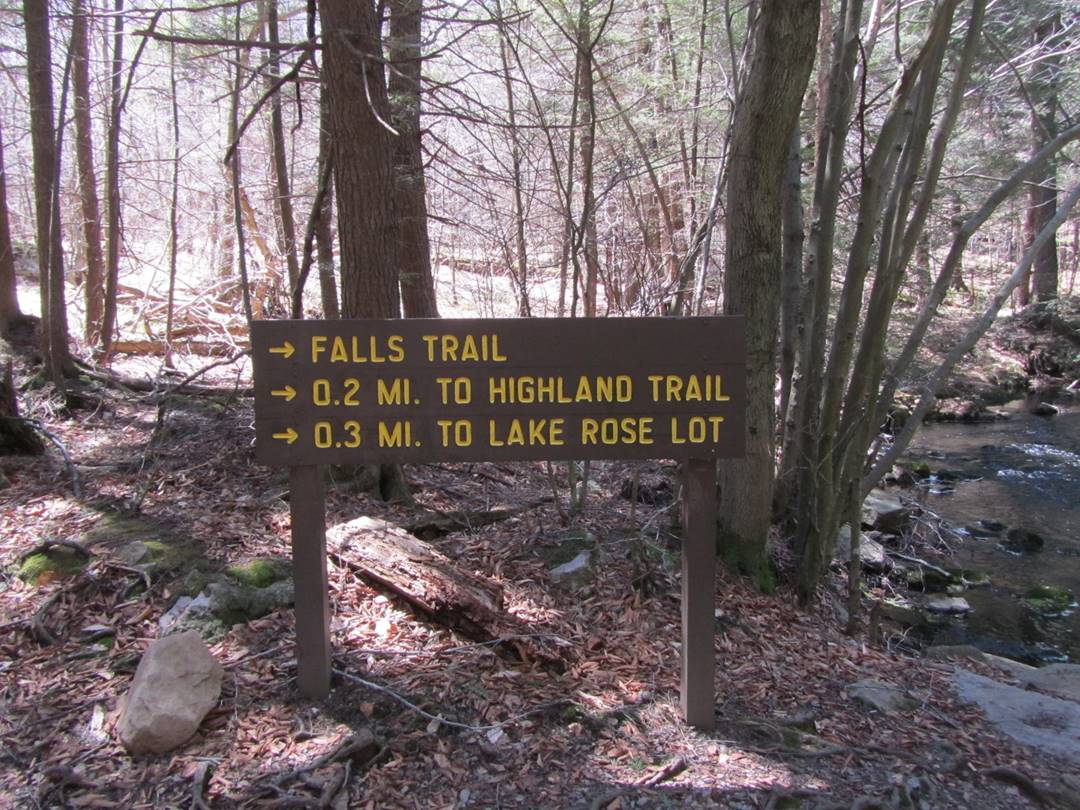
The photographs below follow the route listed above. I have included the names of the waterfalls. Some, but not all, of the waterfalls had visible (or obvious) signs with their names. The others were identified using the trail map provided by the park. Unidentified photos are from along the route in the order in which we hiked. The map in the photo below is located at the junction of the Highland and the Glen Leigh Trails.
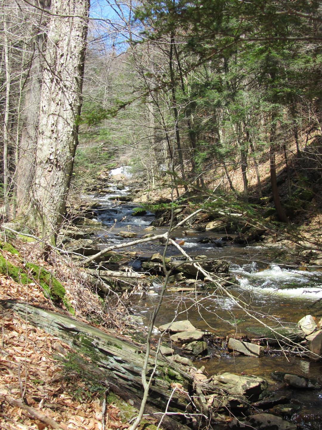
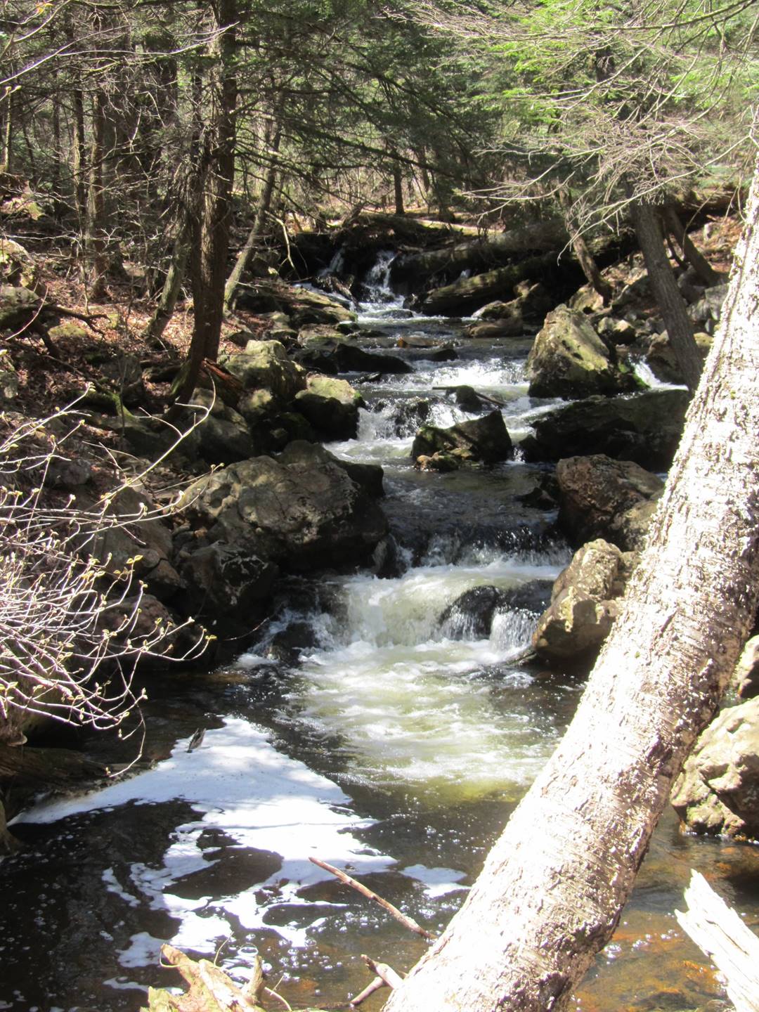
Prior to taking the hike, I knew there would be significant changes in altitude but I was uncertain as to the order of the change. After making the hike, it became obvious. The park is at the top of Red Rock mountain, so the trails naturally go down from the park along the glens. If you start your hike from the Rt 118 parking lot, you will climb some 700 feet or more to reach the Highland Trail and your return trip will be downhill. It took us some four and half hours to hike the approximate 3.4 mile trail, including a stop for lunch. Based on the people we saw hiking in other direction, they made the hike in much less time. According to the park, the hike from Rt 118 is some seven miles. We missed three of the falls, Harrison Wright, Sheldon Reynolds, and Murry Reynolds, as we thought it would be a total of seven miles to include them. Assuming the map below is somewhat to scale, including them probably would have added something less than one mile to our hike.
The weather the day or our hike was ideal as it was sunny with a high temperature of about 60 degrees. We started our hike around 10 AM and saw maybe six to eight people up to where the waters meet. After that there was pretty much a constant stream of people hiking counter clockwise.
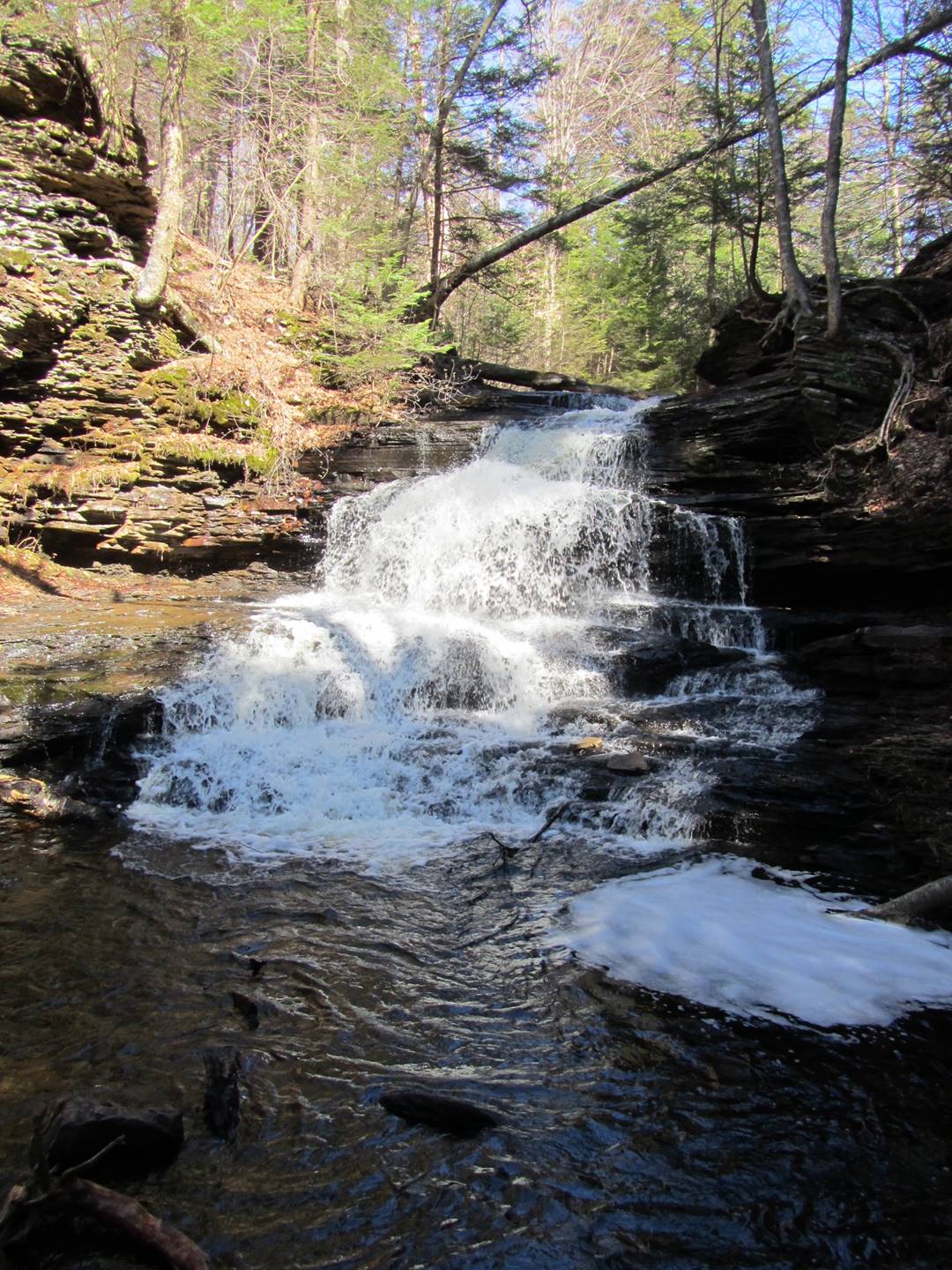
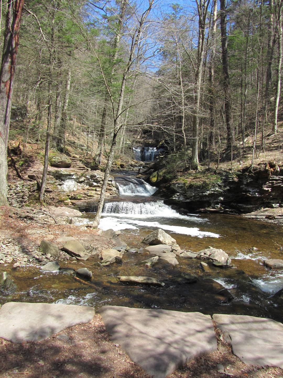
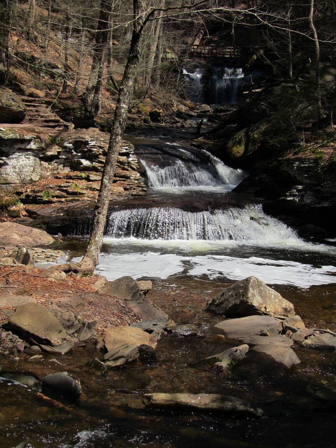
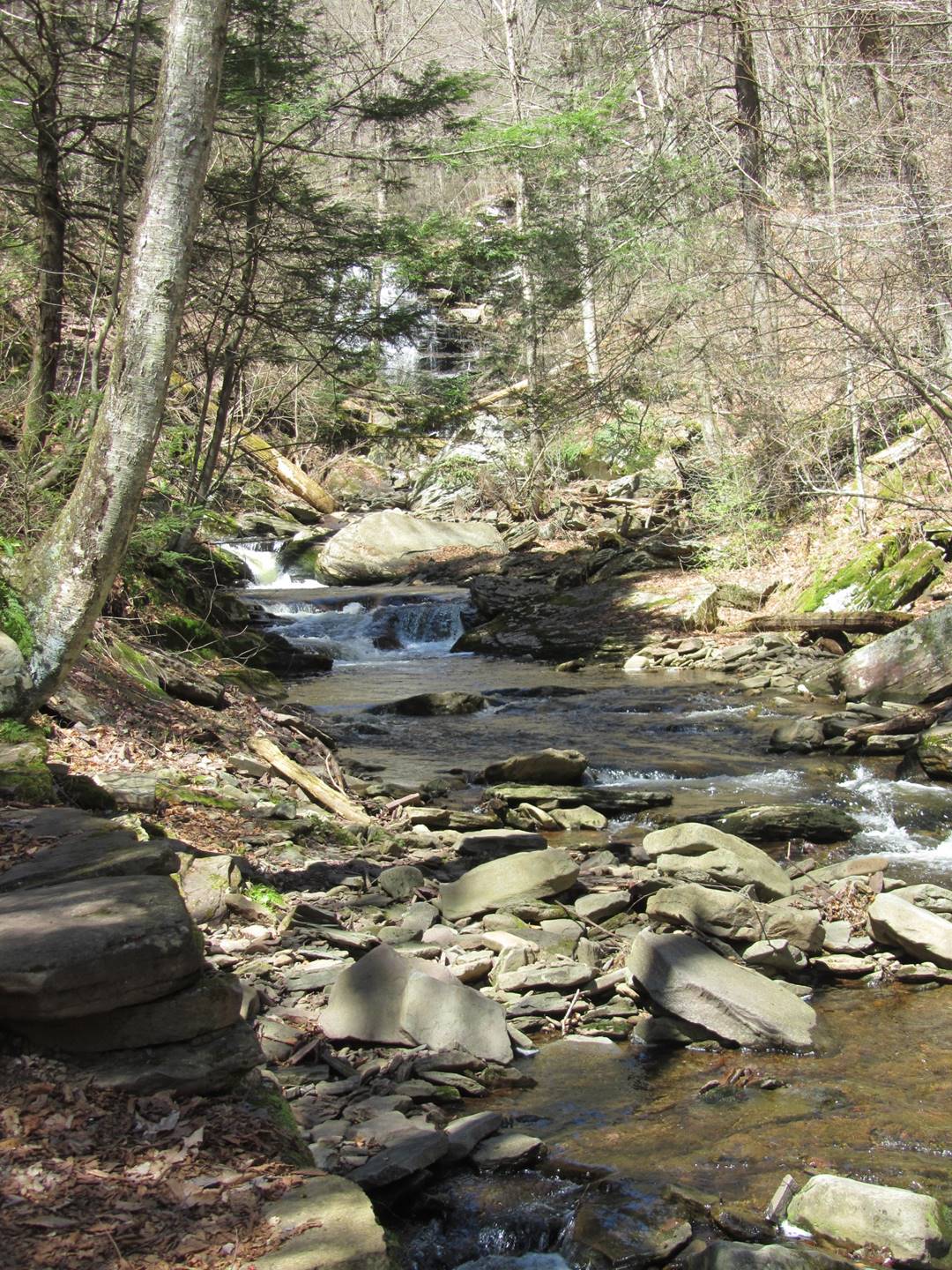
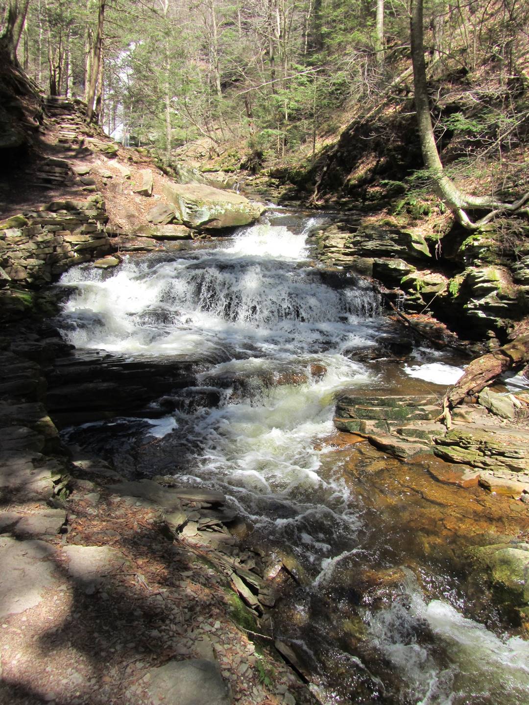
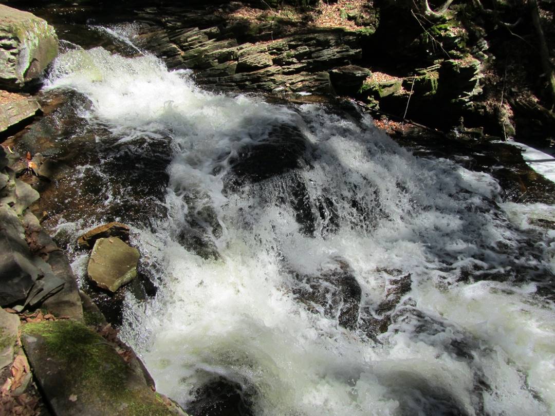
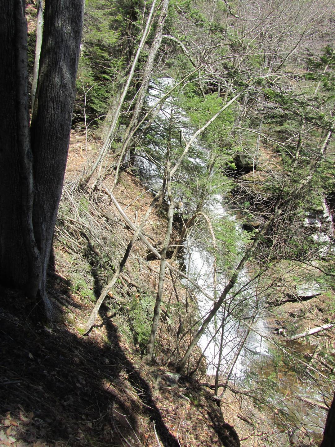
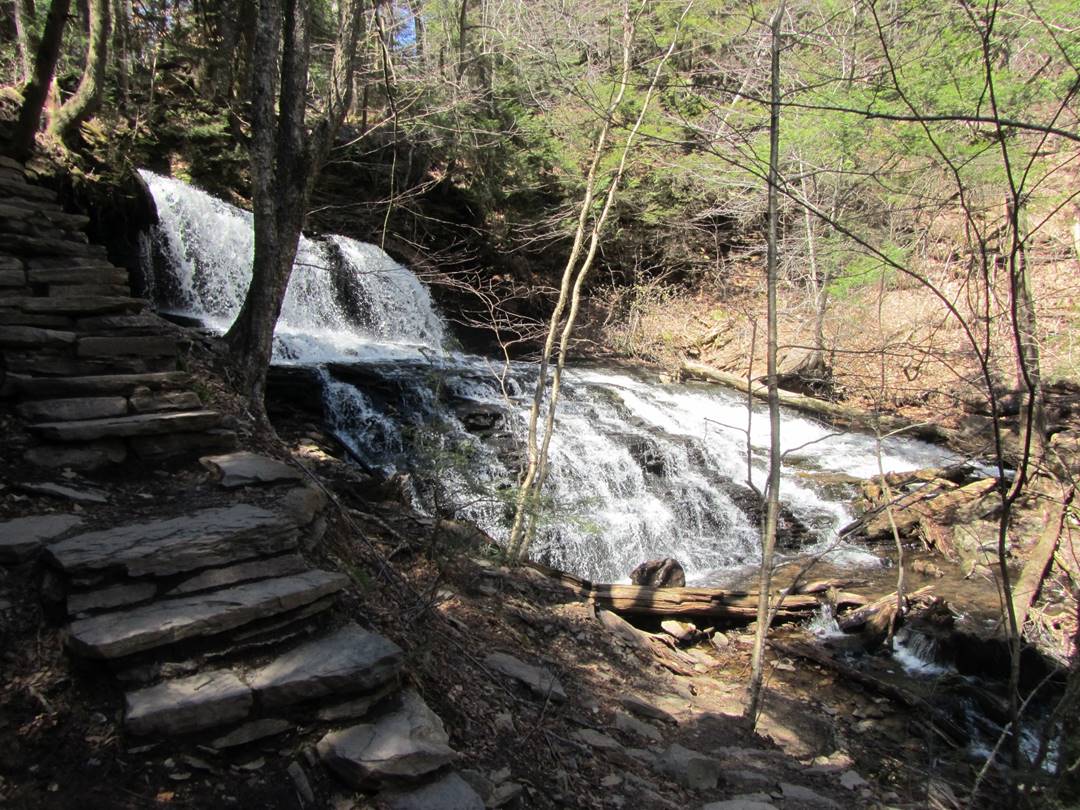
Onondaga Falls, 15’
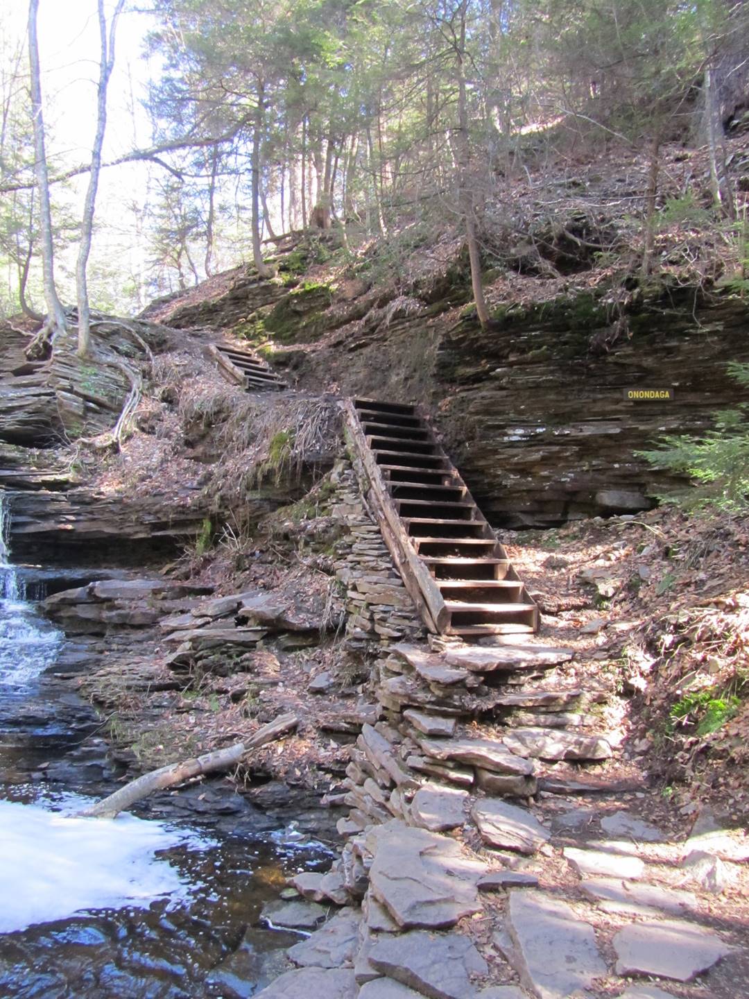
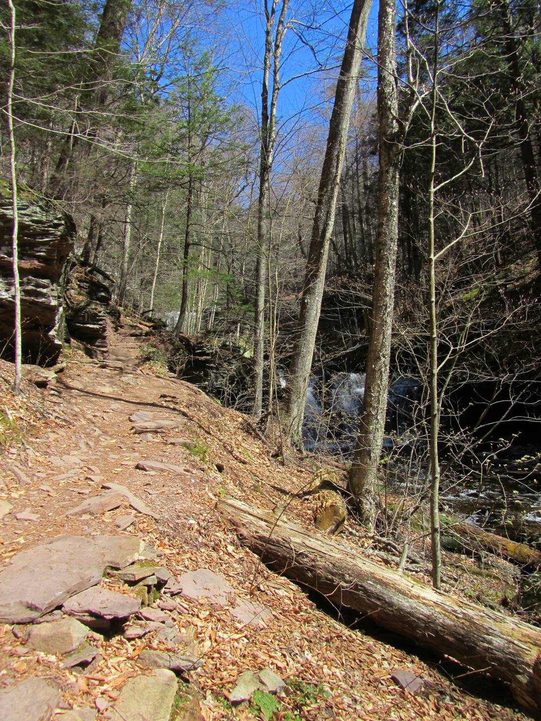
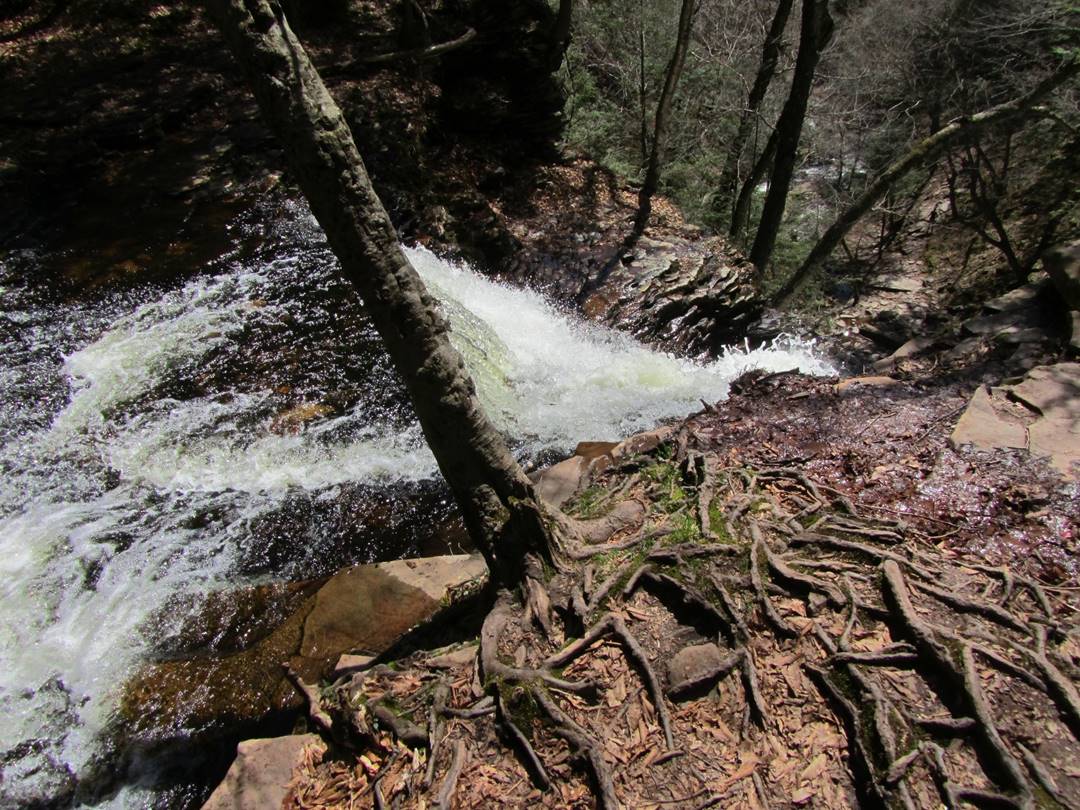
The stairs next to Onondaga Falls. These were the first stairs we came across and my thought was some handrails would have been nice. It turns out these are about the best of the stairs, as several others were wet slate of varying height and depth.
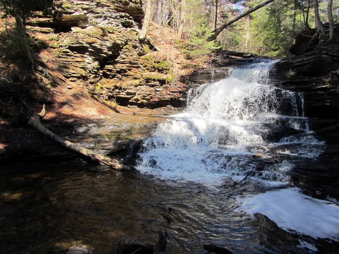
Onondaga Falls, 15’
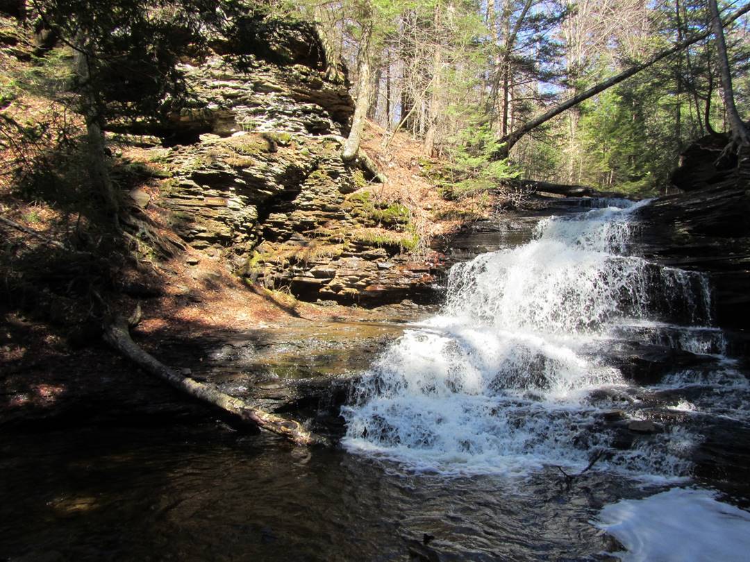
Onondaga Falls, 15’
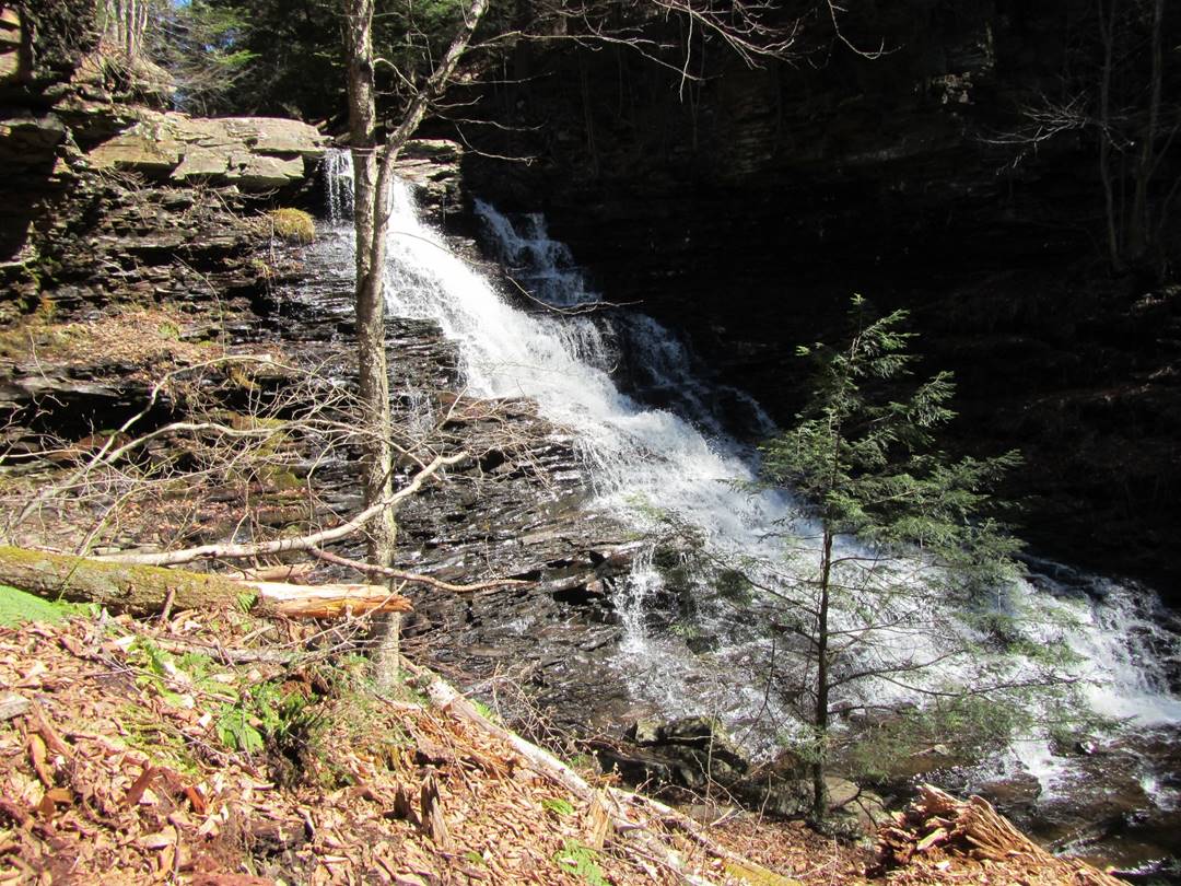
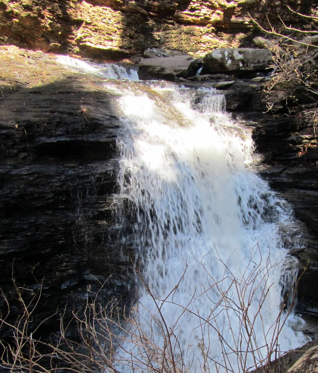
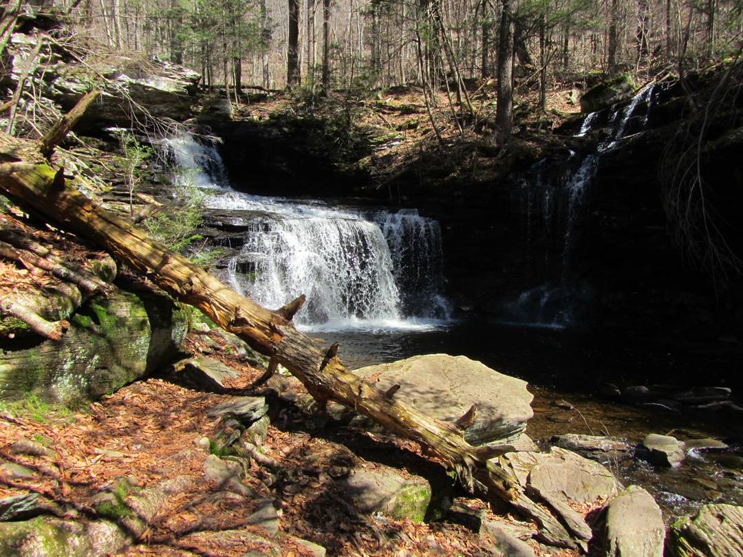
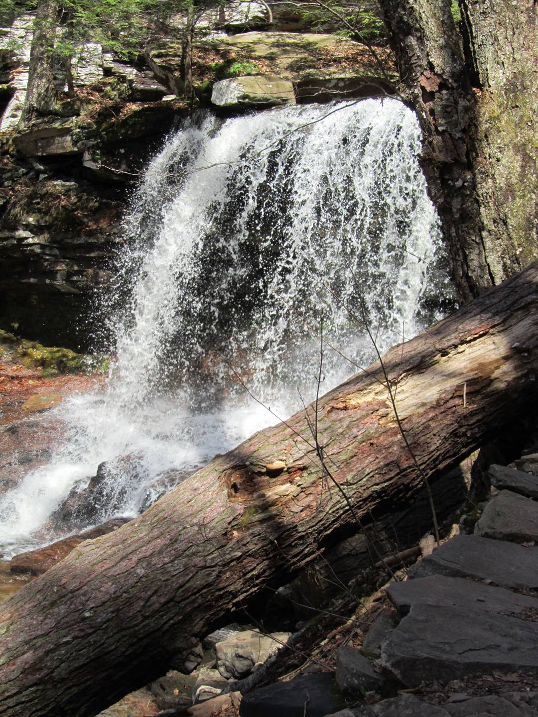
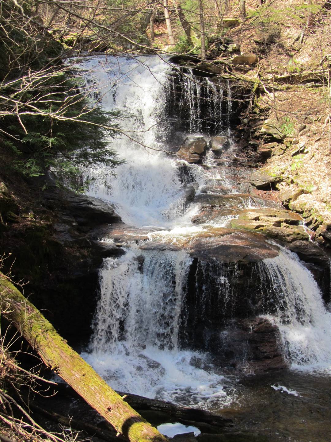
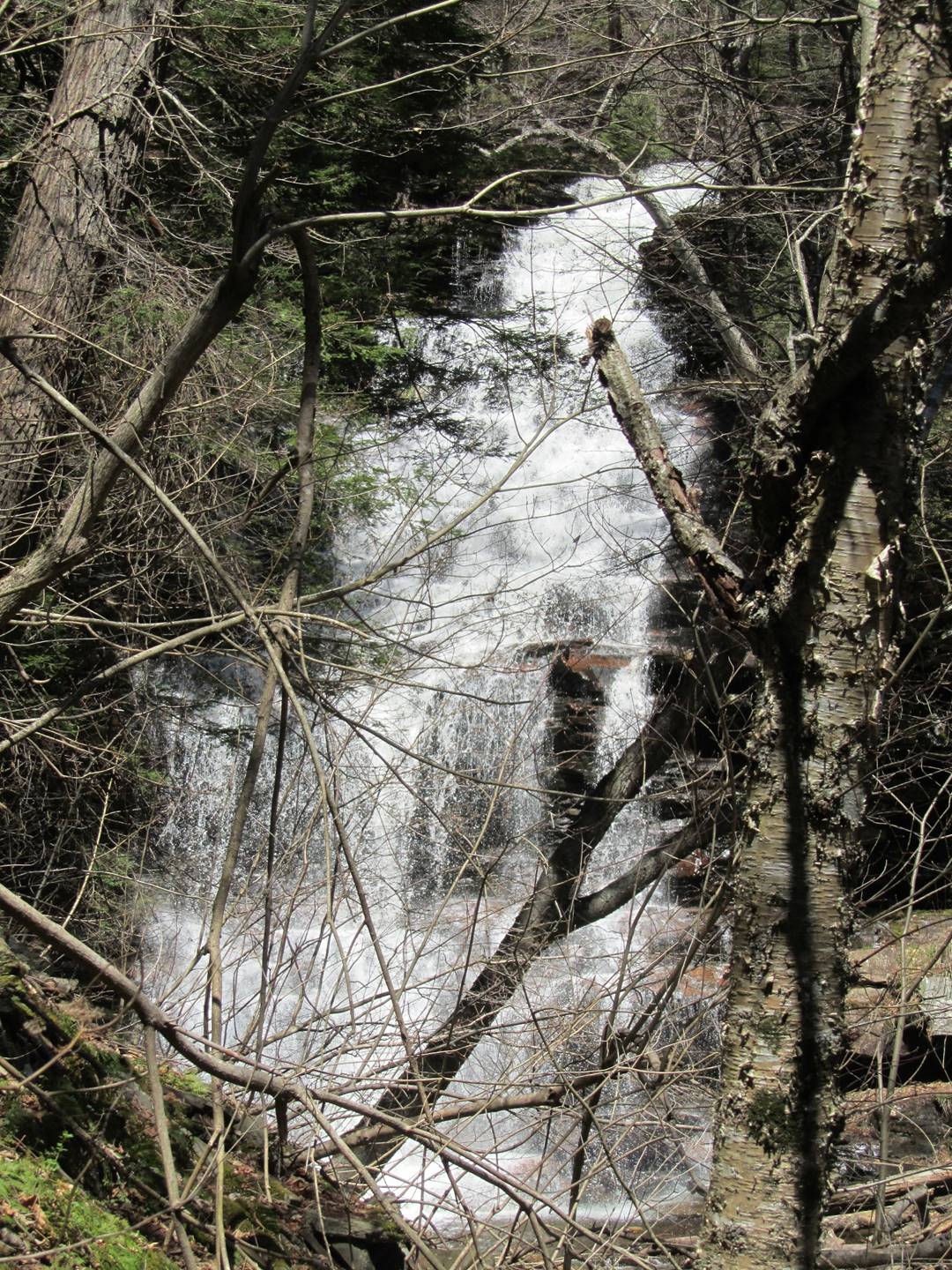
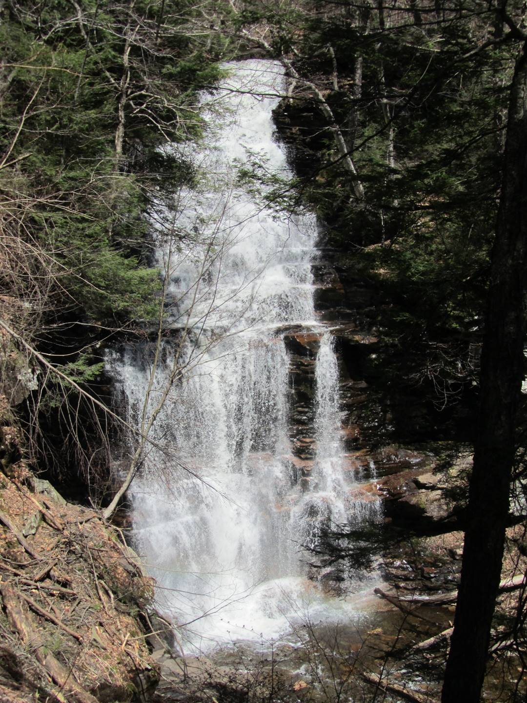
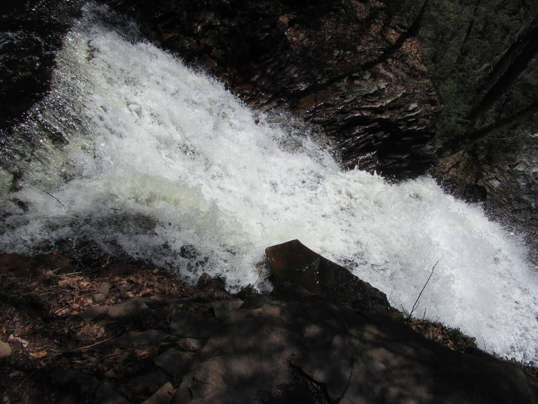
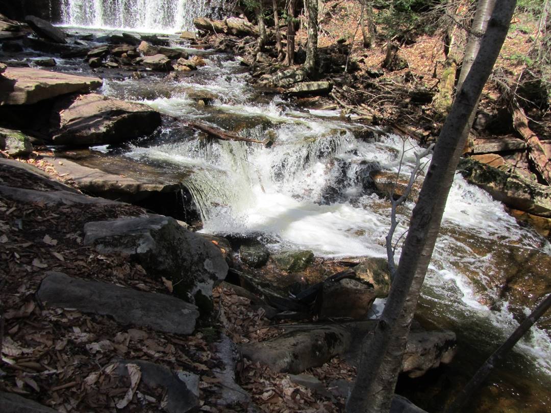
F. L. Ricketts, 38’
F. L. Ricketts, 38’
F. L. Ricketts, 38’
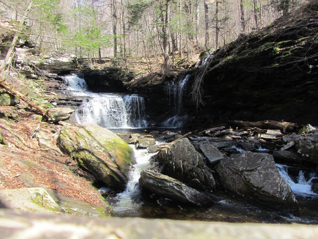
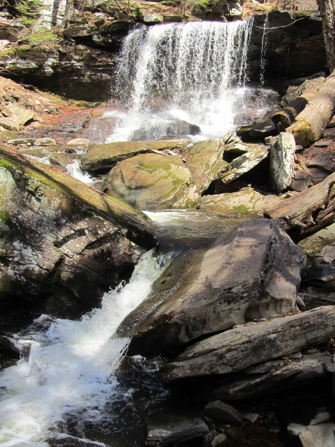
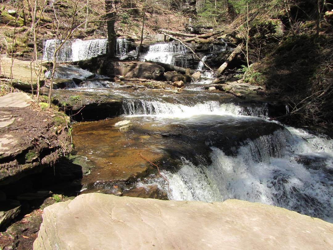
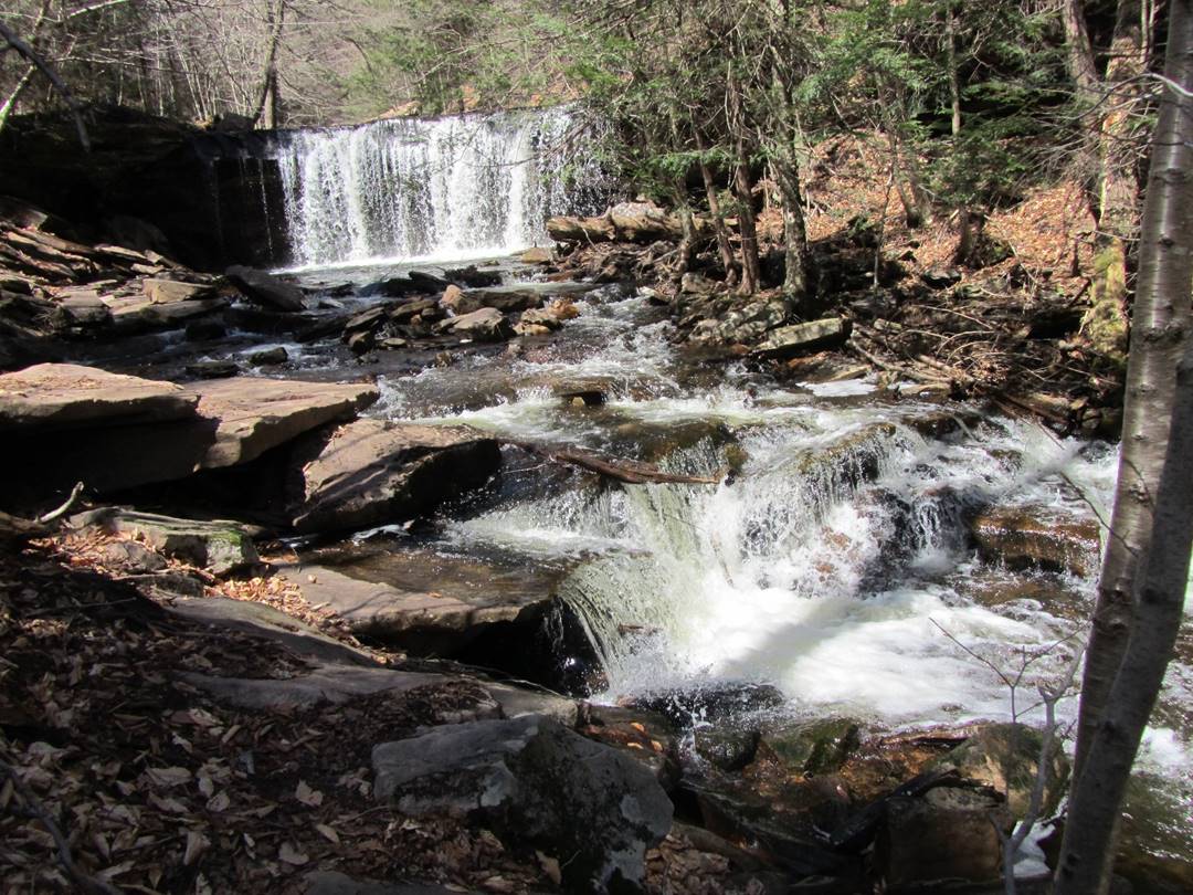
Shawnee, 30’
Shawnee, 30’
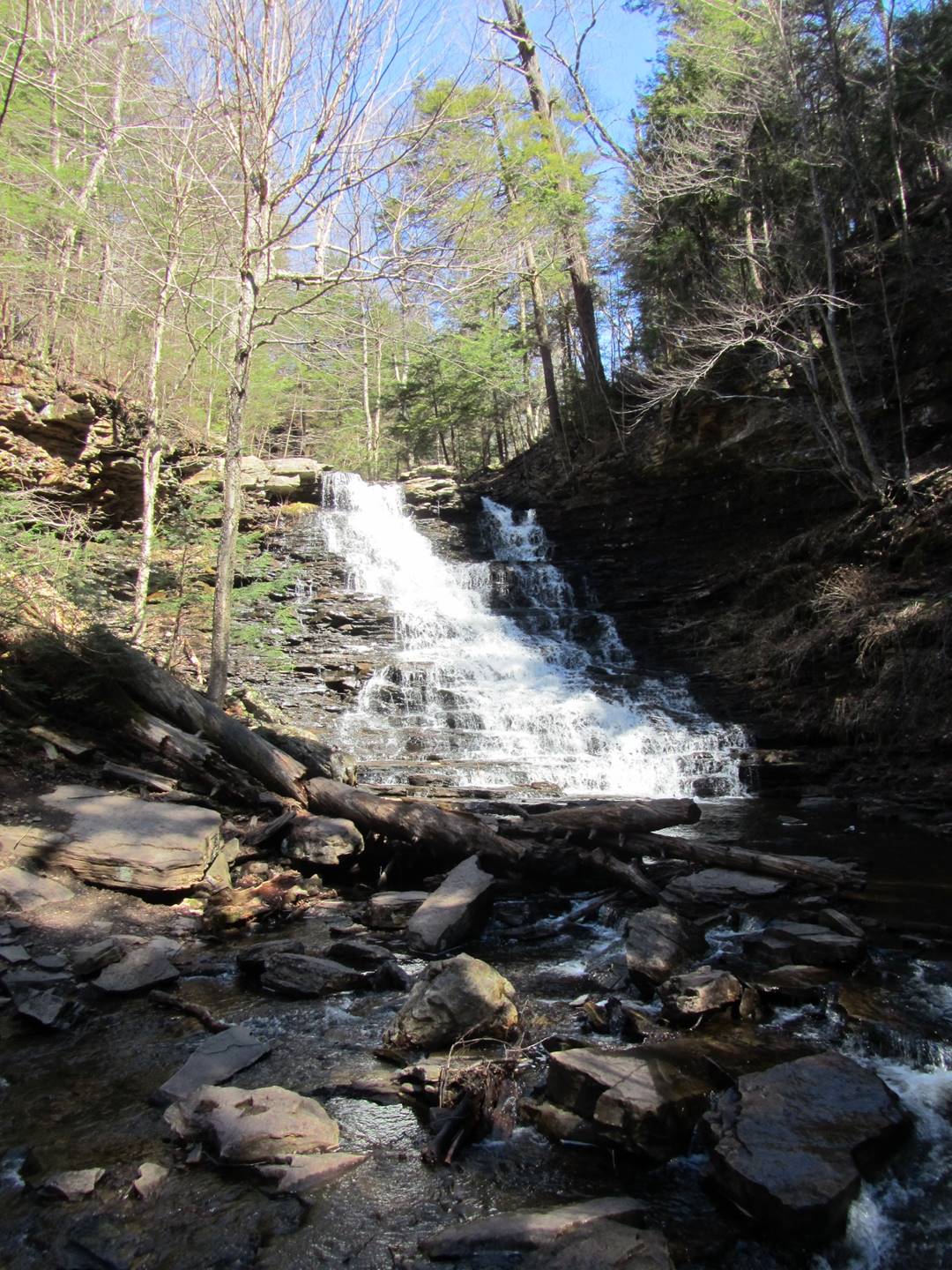
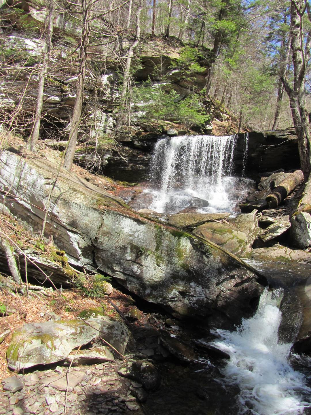
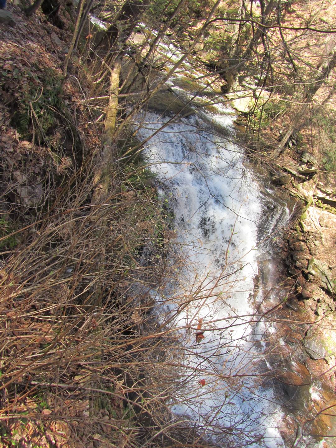
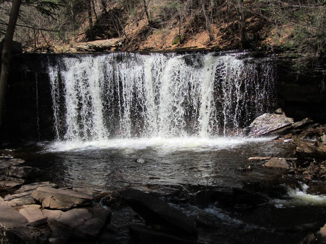
Huron, 41’
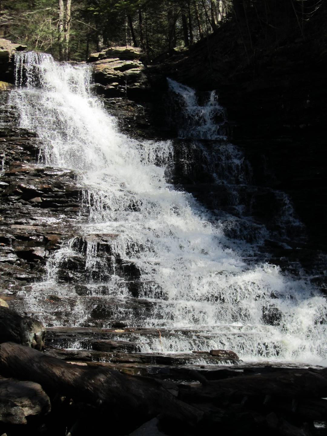
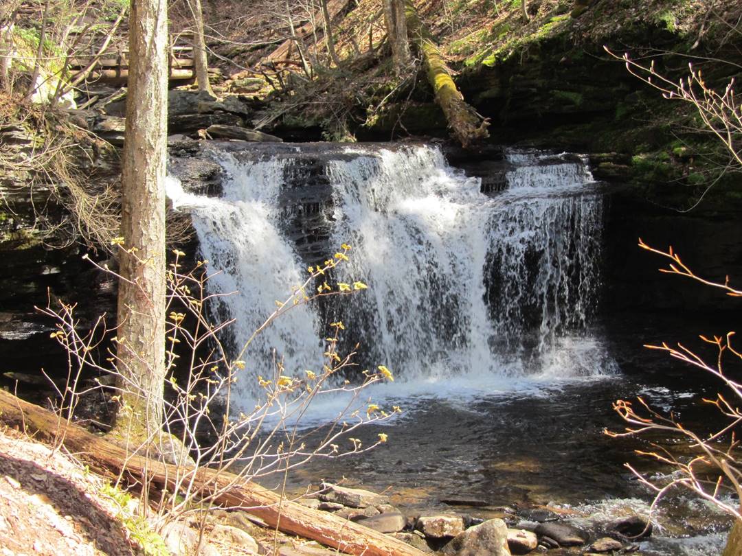
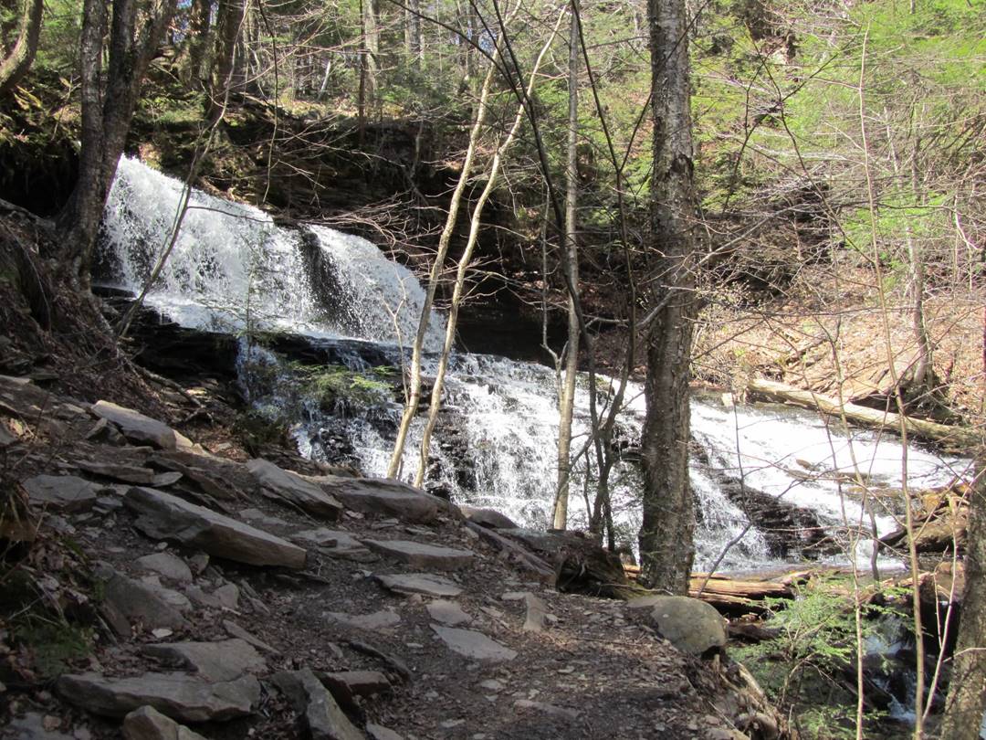
Ozone, 60’
Ozone, 60’
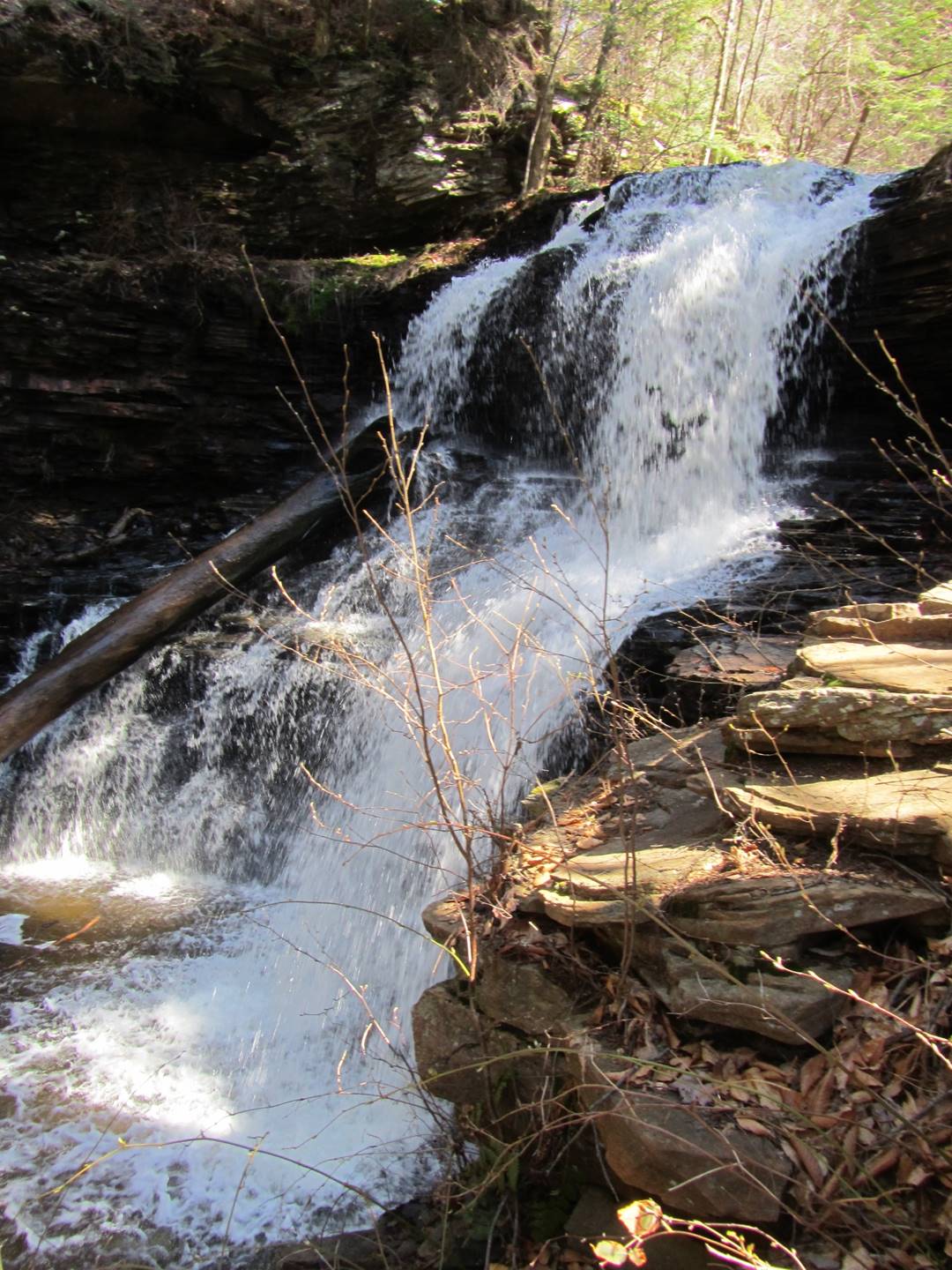
R. B. Ricketts, 36’
R. B. Ricketts, 36’
Video of R. B. Ricketts, 36’
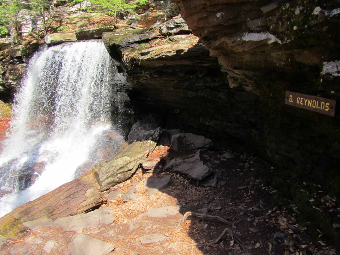
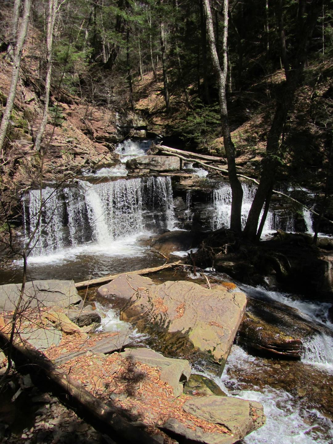
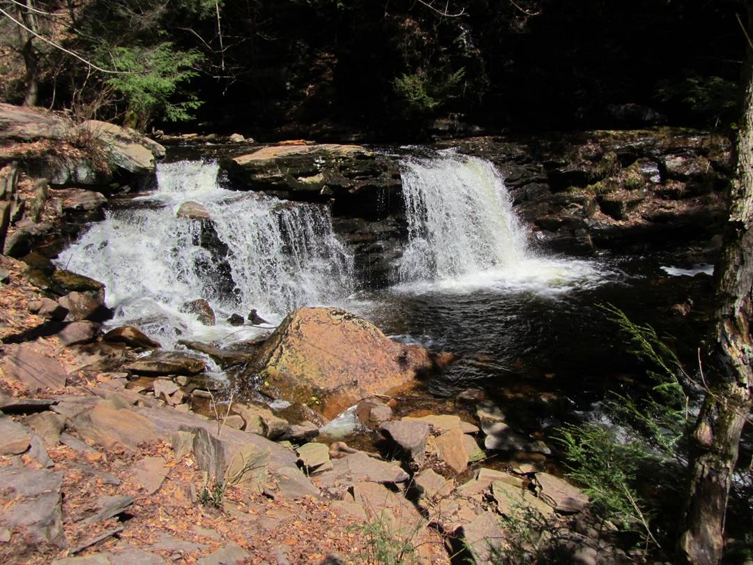
B. Reynolds, 40’
B. Reynolds, 40’
B. Reynolds, 40’
B. Reynolds, 40’
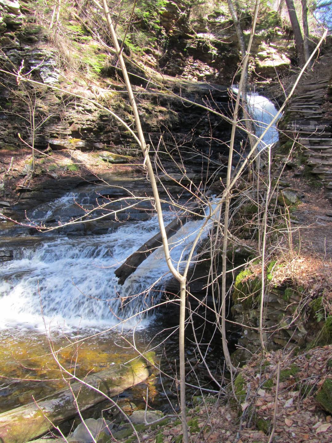
Wyandot, 15’
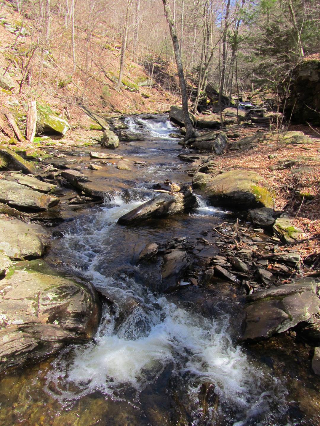
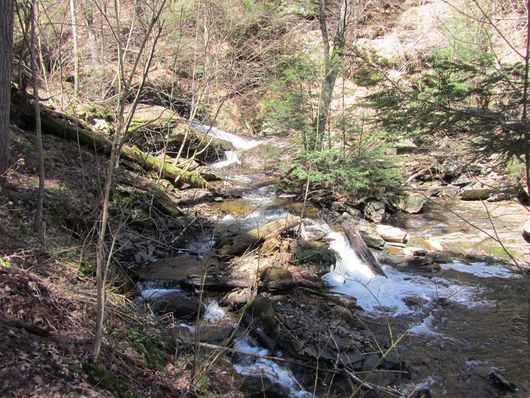
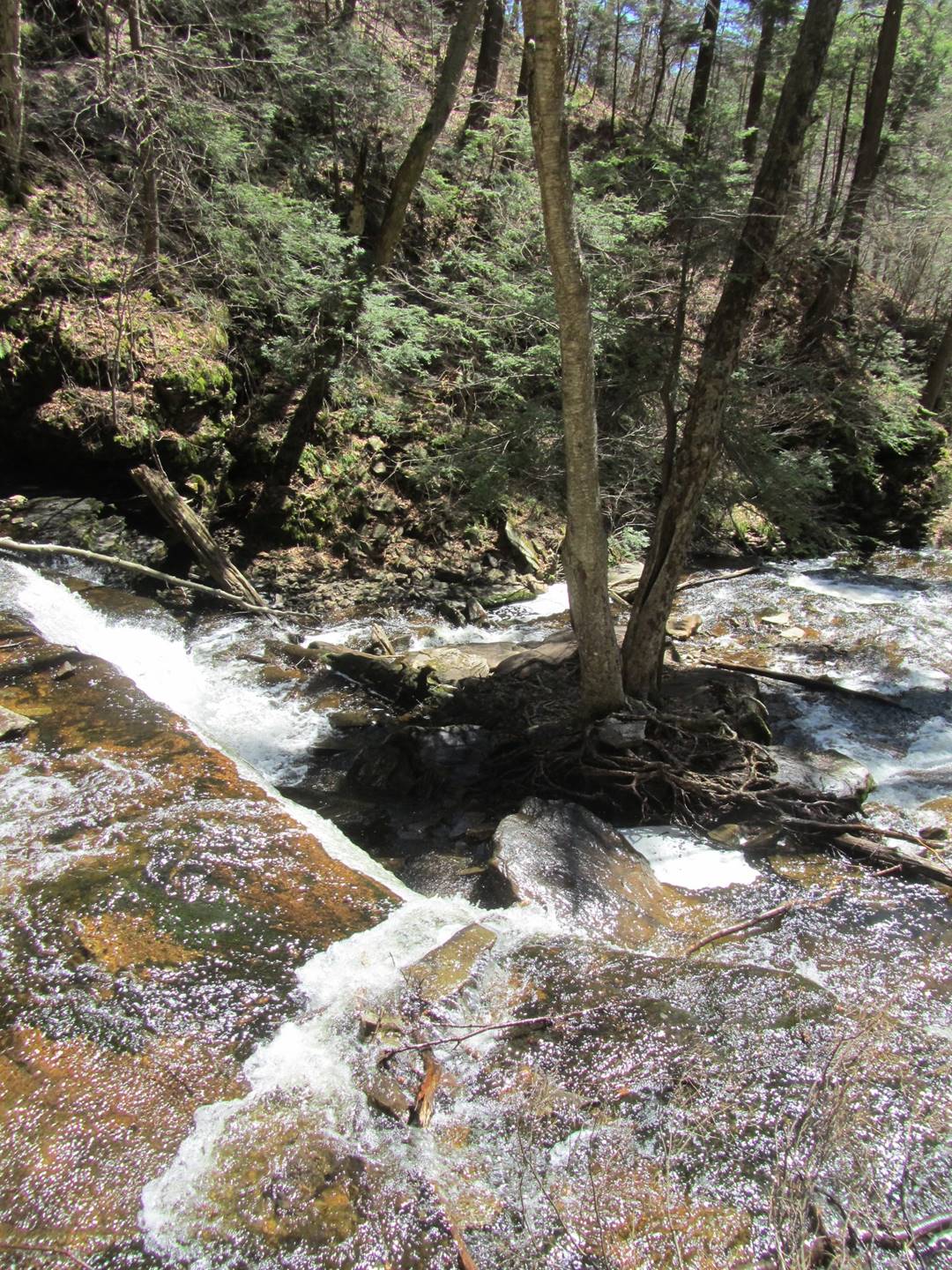
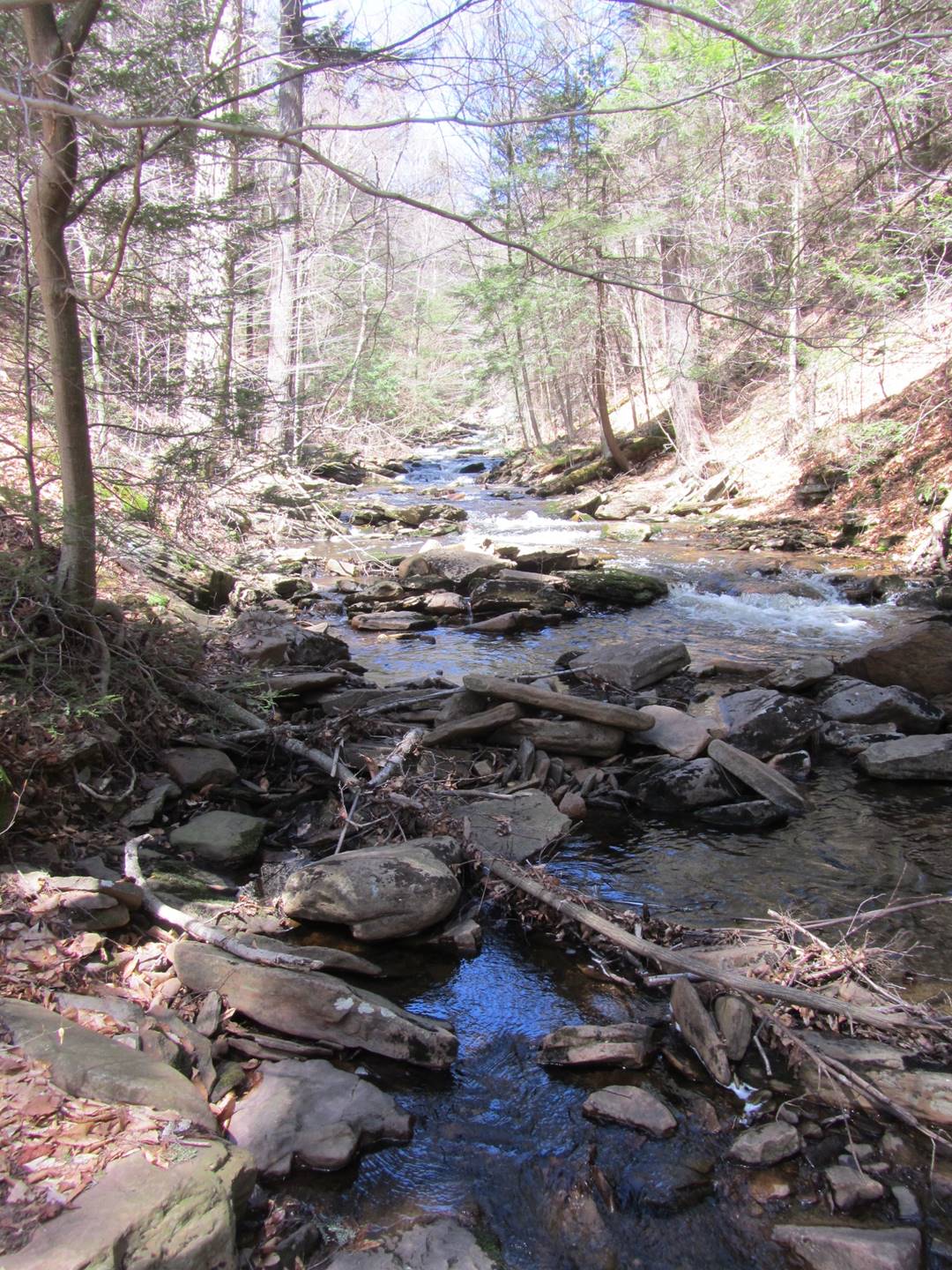
Waters Meet
Waters Meet
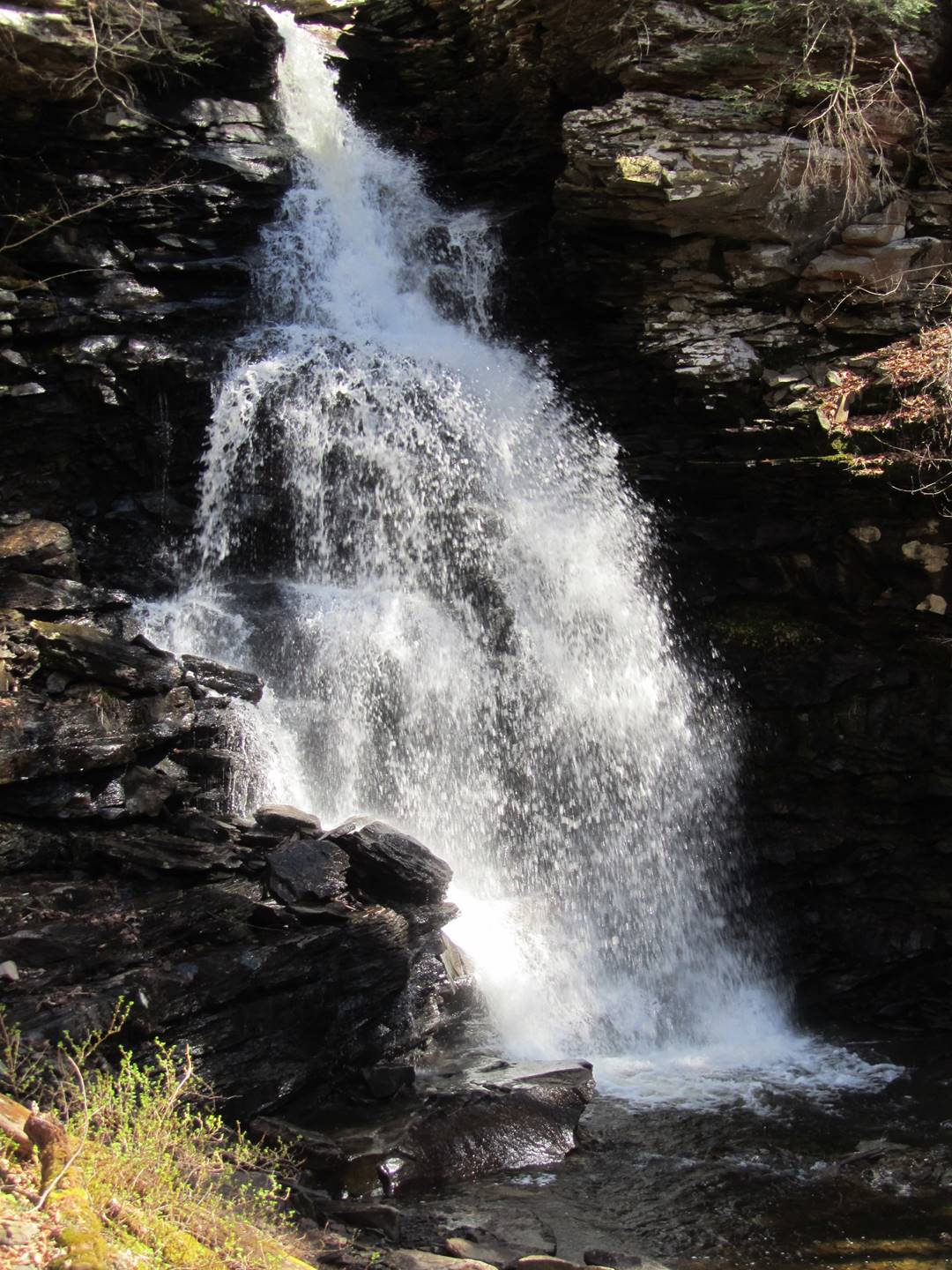
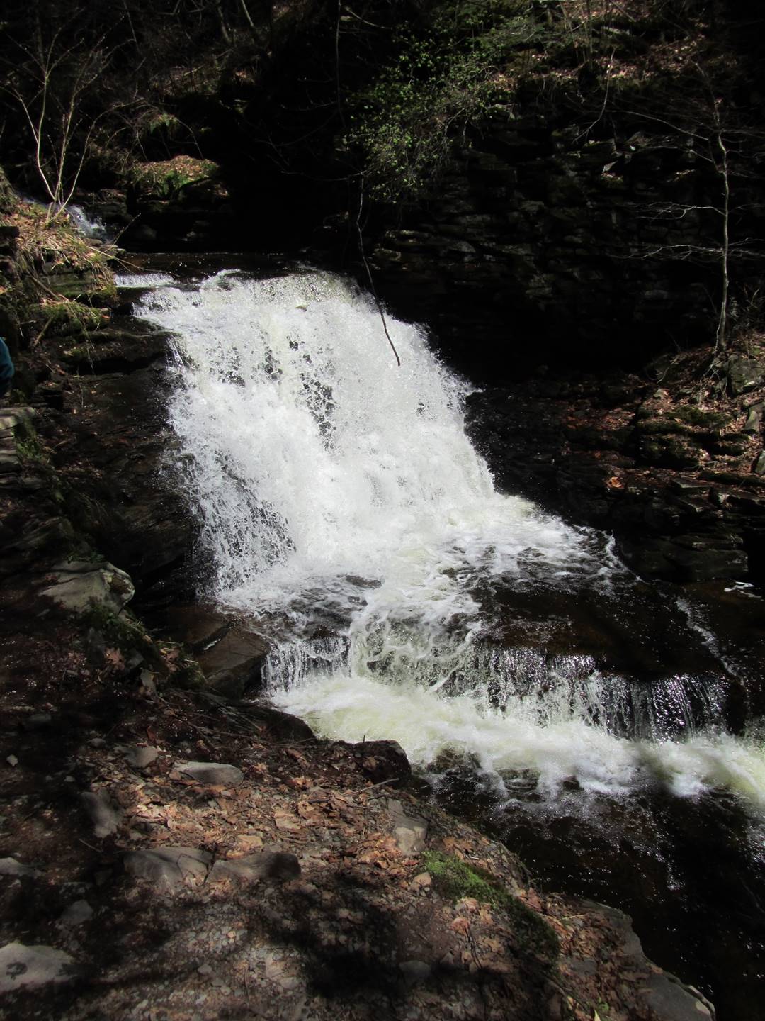
Erie, 47’
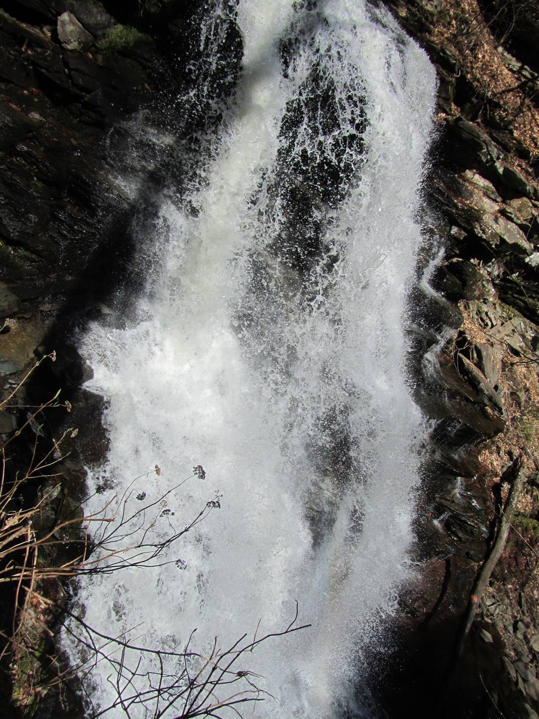
Erie, 47’
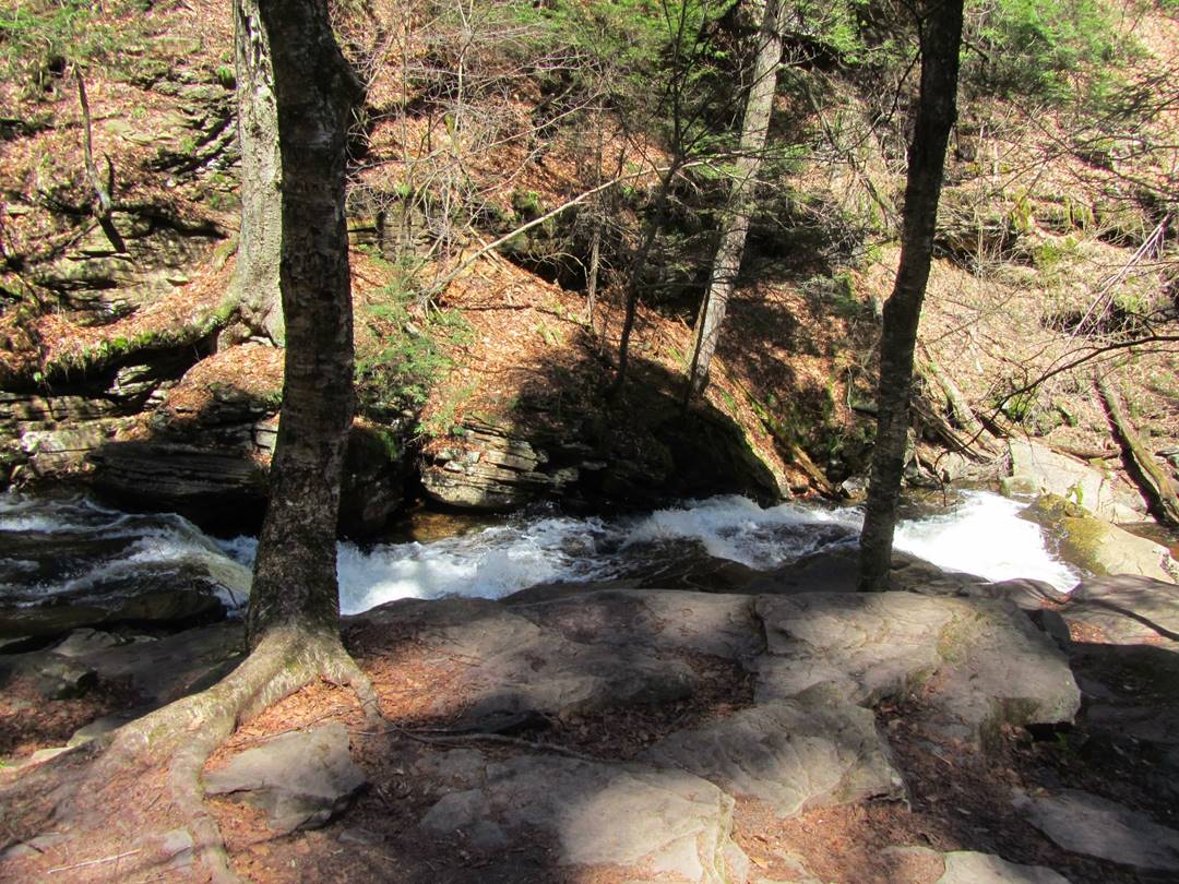
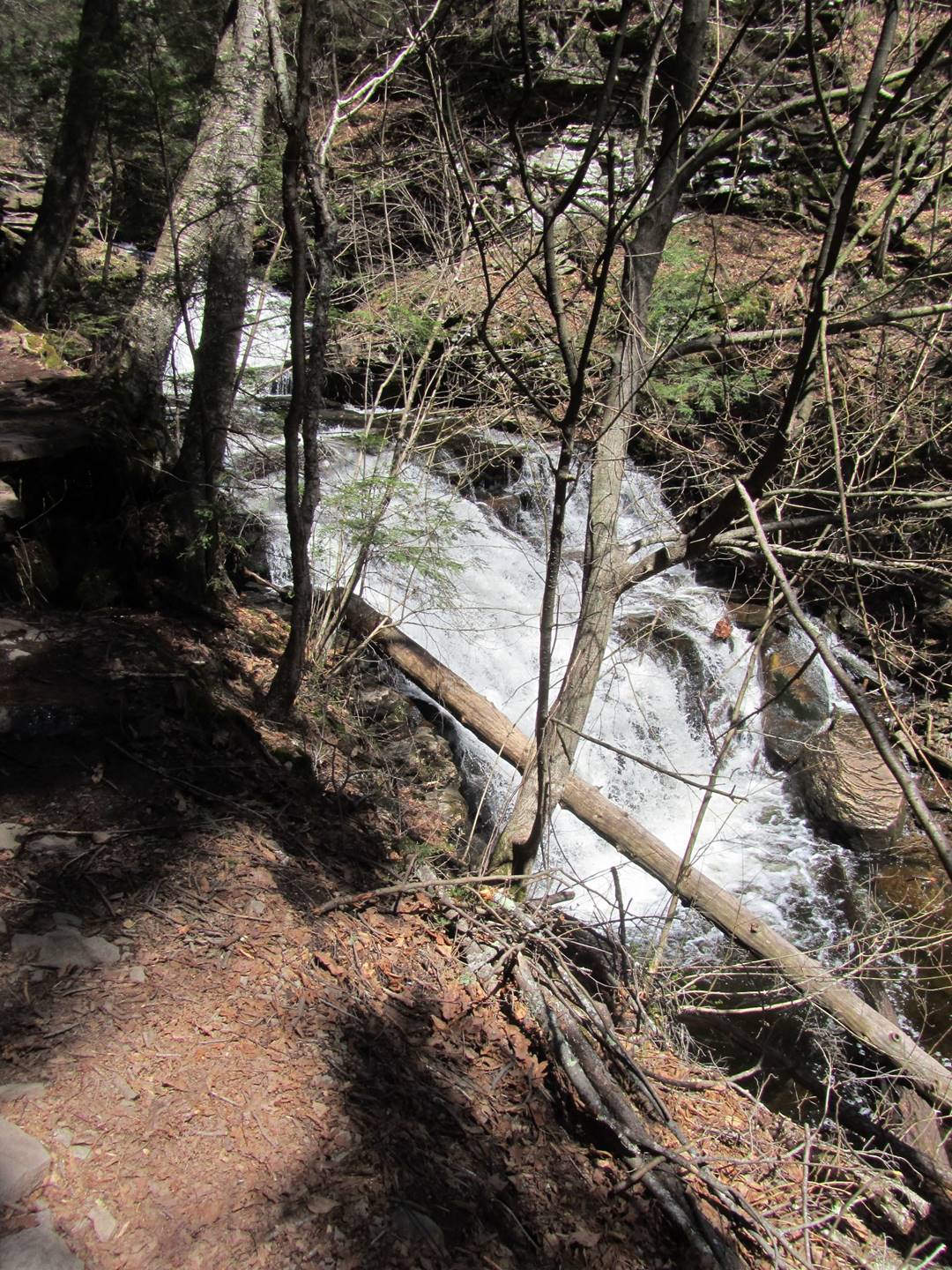
Just Above Erie
Erie, 47’
Video of Erie, 47’
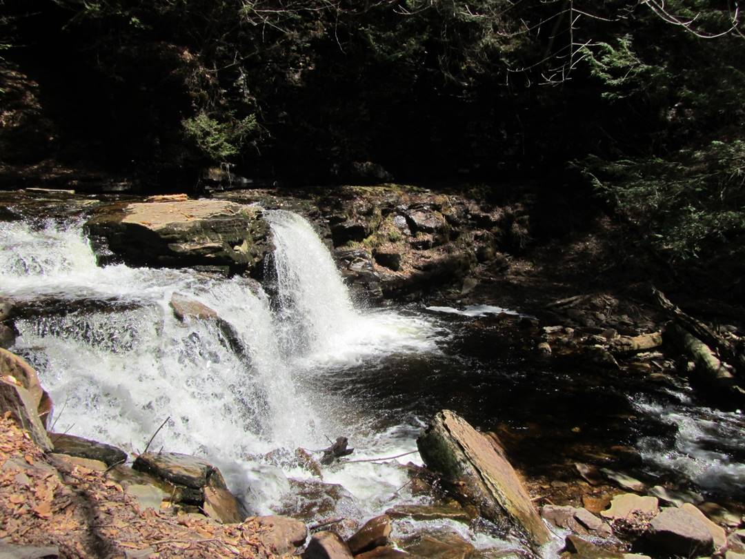
Tuscarora, 47’
Upper Tuscarora, 47’
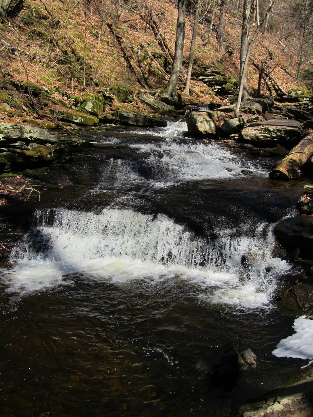
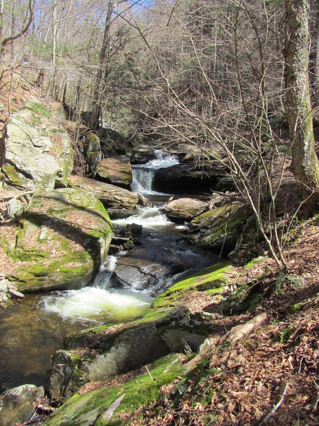
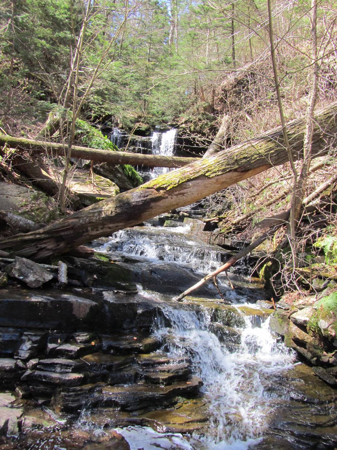
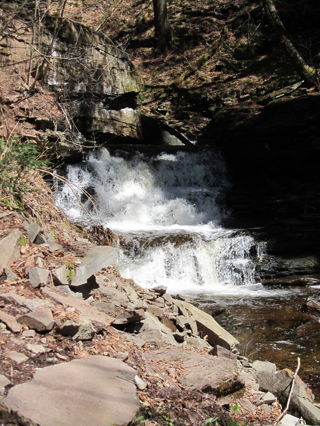
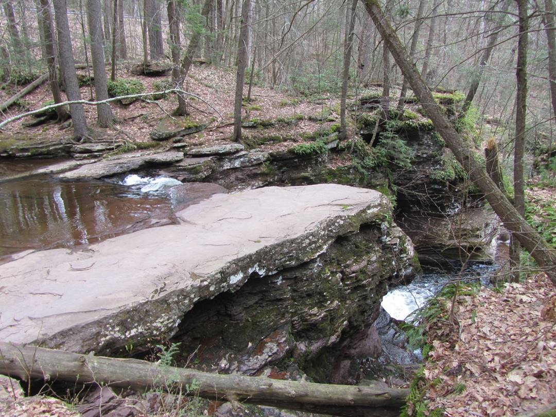
Conestoga, 17’
Above Conestoga, 17’
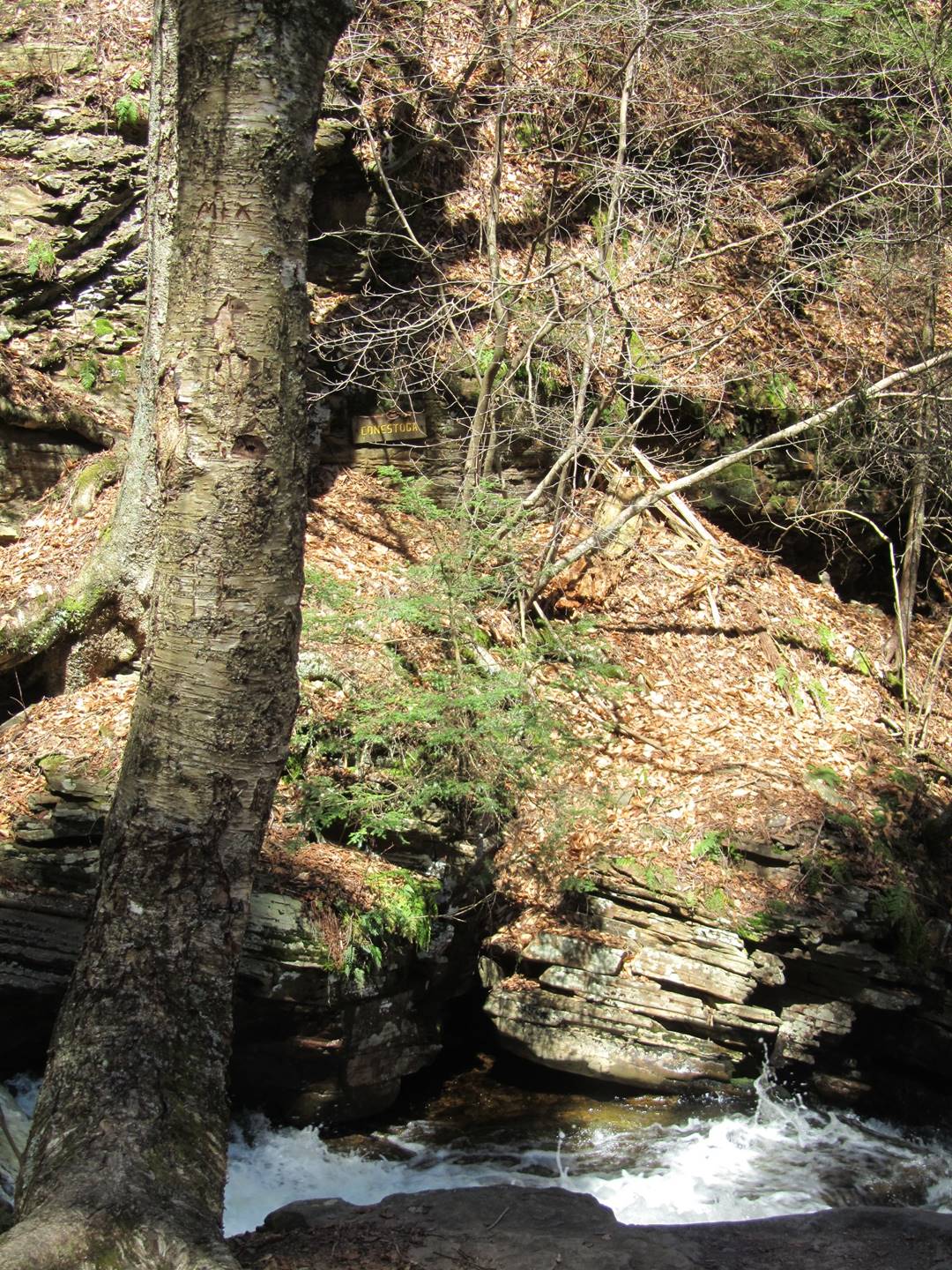
Above Conestoga, 17’
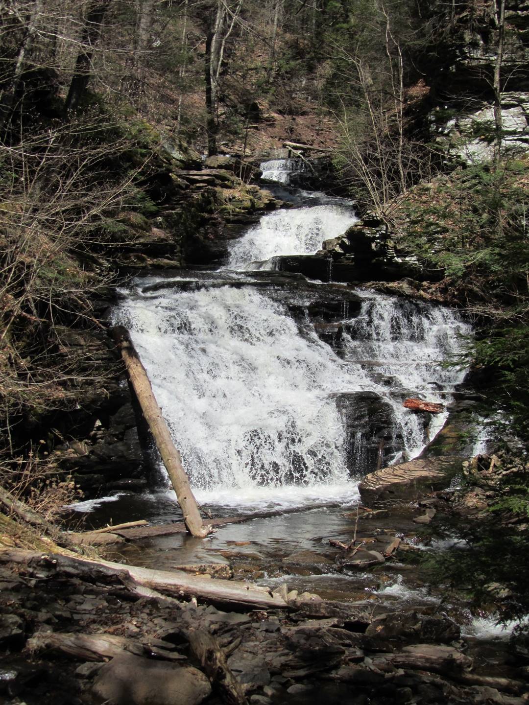
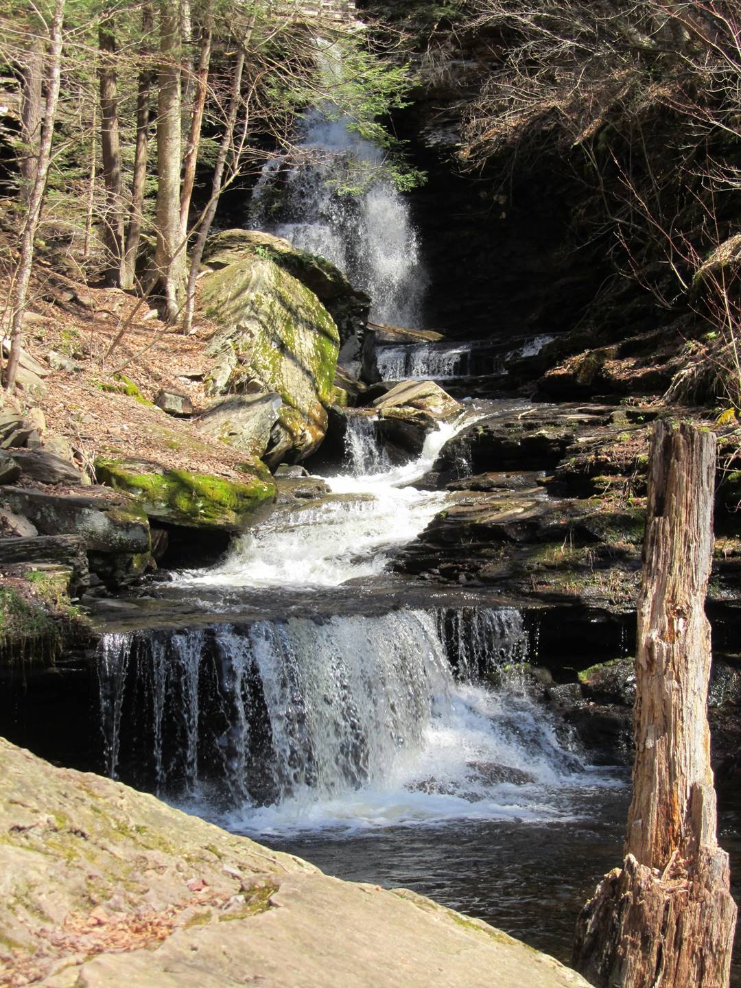
Mohican 39’
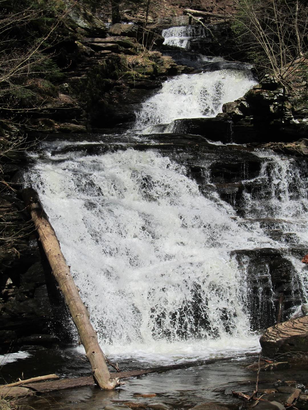
Mohican 39’
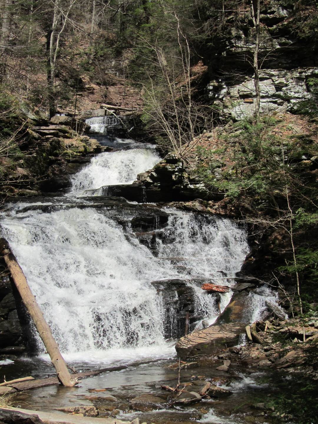
Mohican 39’
Mohican, 39’
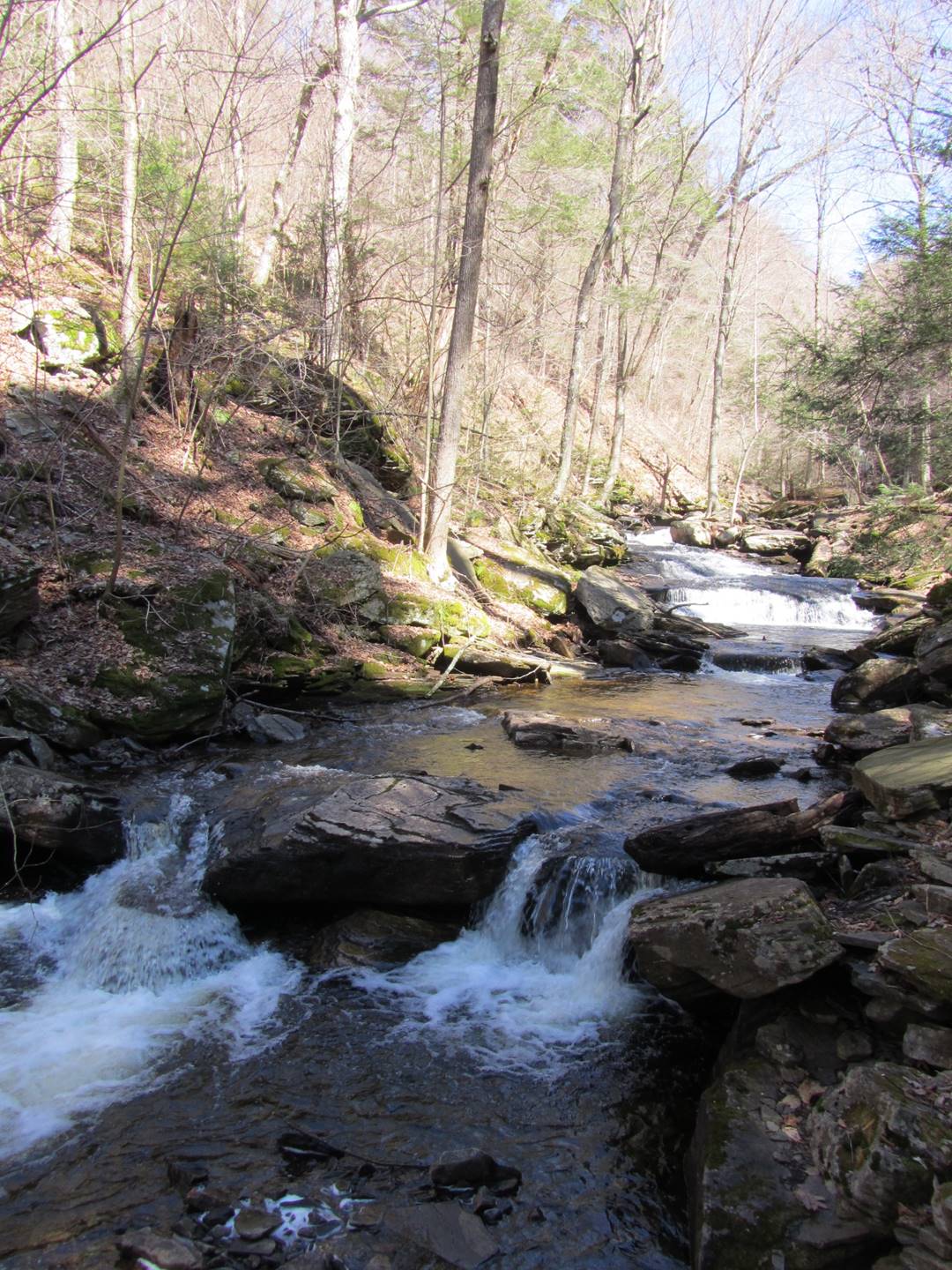
Delaware, 37’
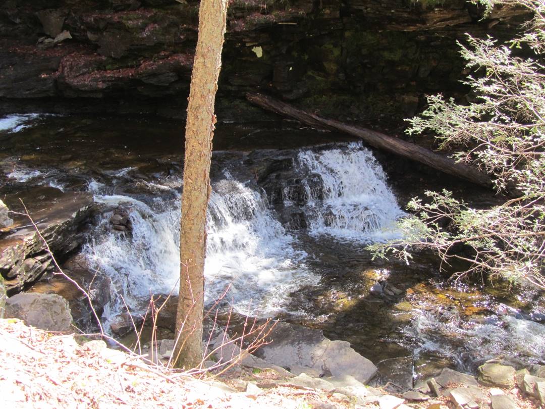
Seneca, 12’
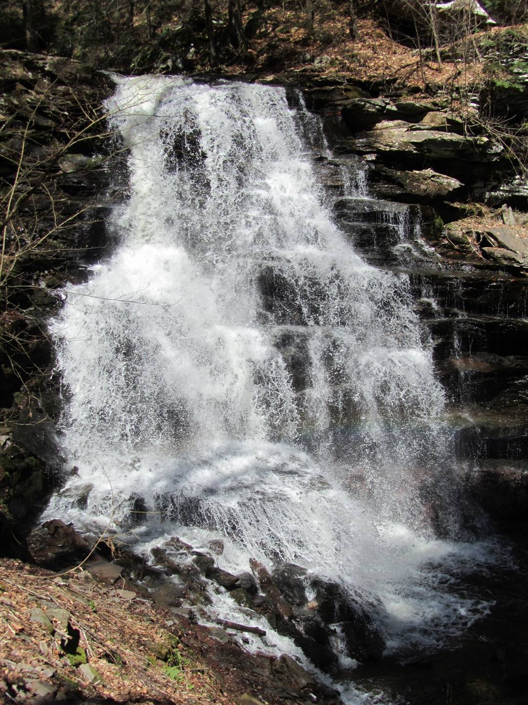
Ganoga 94’
Ganoga 94’
Ganoga, 94’
Ganoga, 94’
Ganoga, 94’
Video of Ganoga, 94’
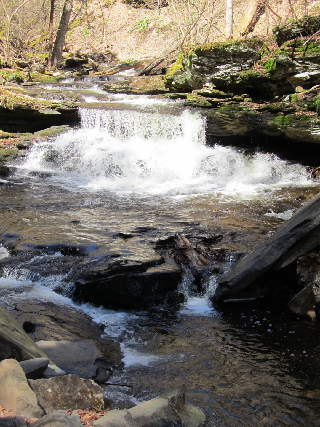
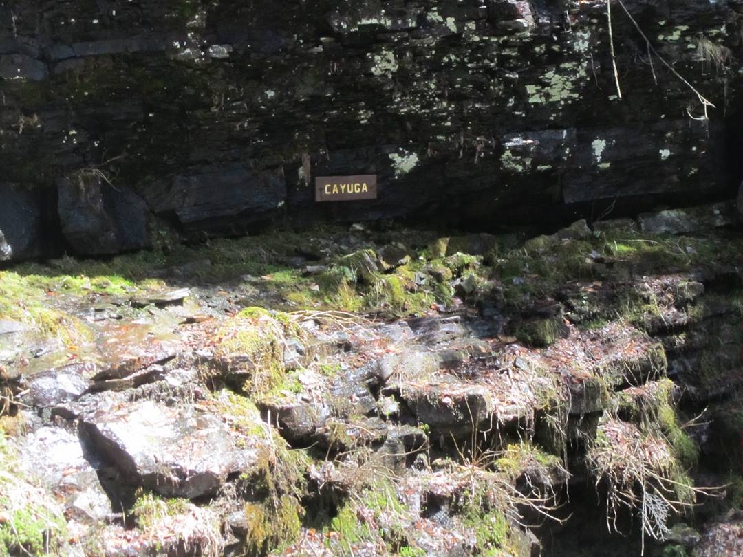
Cayuga, 11’
Cayuga, 11’
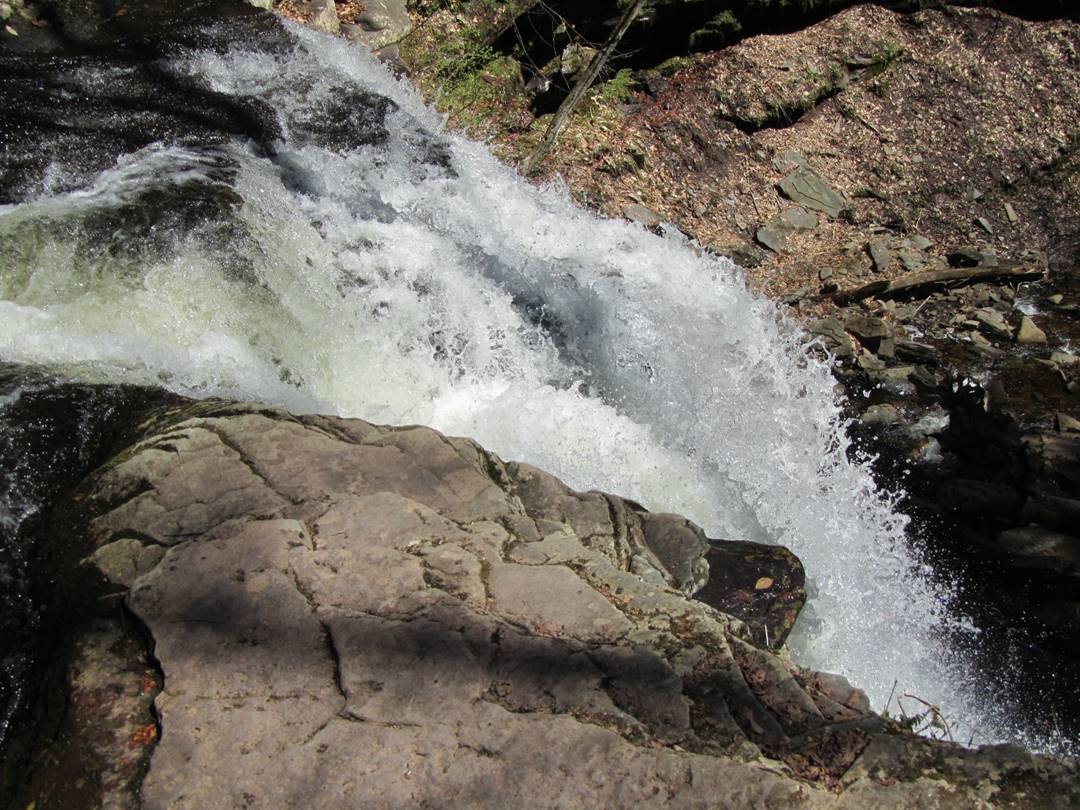
Oneida, 13’
Oneida, 13’
Mohawk, 37’
Mohawk, 37’
The Adams Waterfall photographs were taken on April 19, 2017.
Adams, 36’
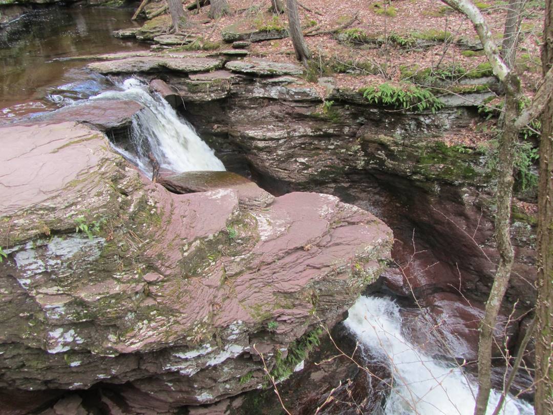
Adams, 36’
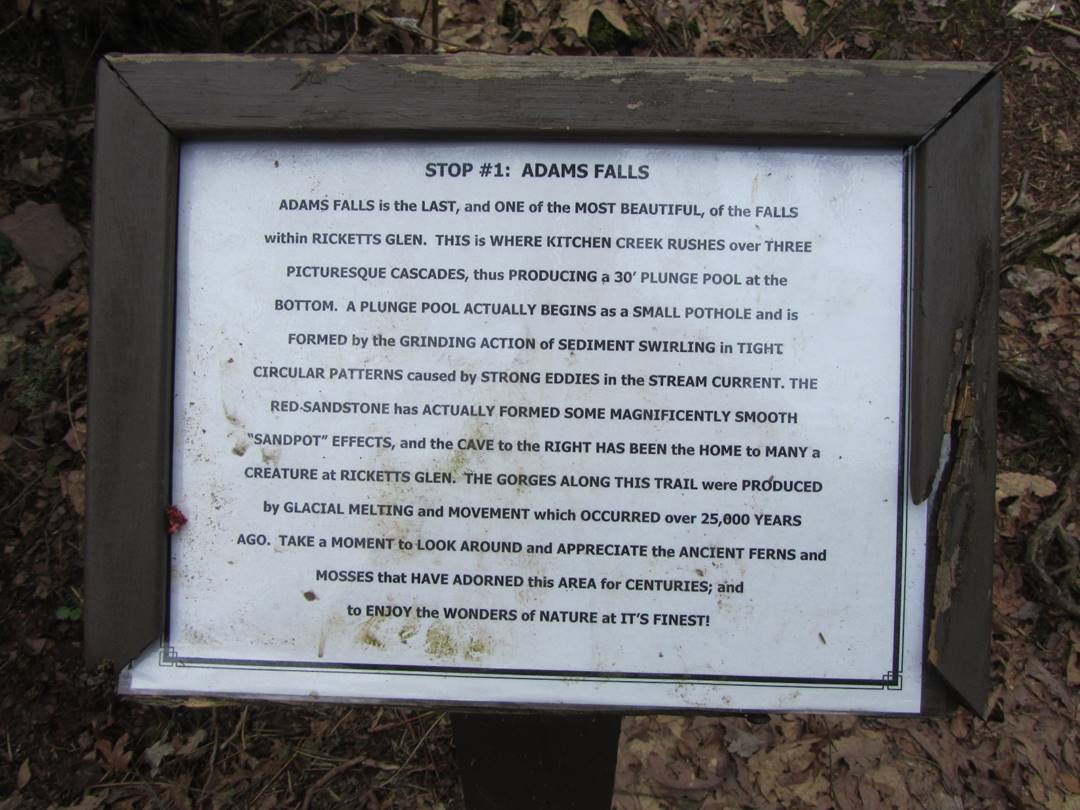
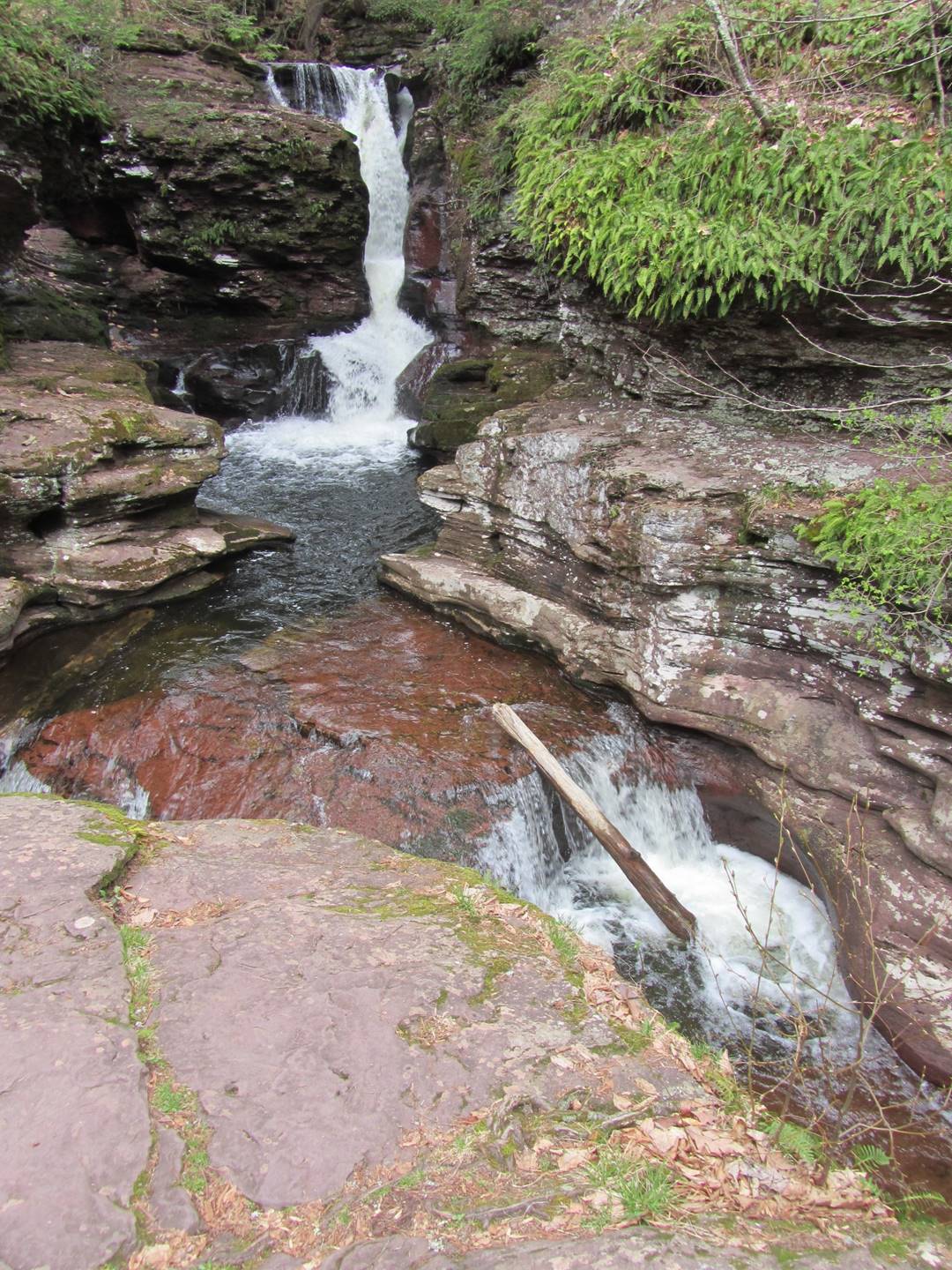
Adams, 36’
Video of Adams, 36’
Home | Bob Gray Consulting | Family History | Genealogy | Hobbies | Oswego Maps
Copyright 2017, Robert F Gray